
Indian River Lagoon Boating Guide: Ramps, Depths and Rules
Indian River Lagoon boating guide: 156 miles of shallow water, ICW channel, manatee zones, seagrass and 60 public ramps and launches from Marinalo data, October 2026.
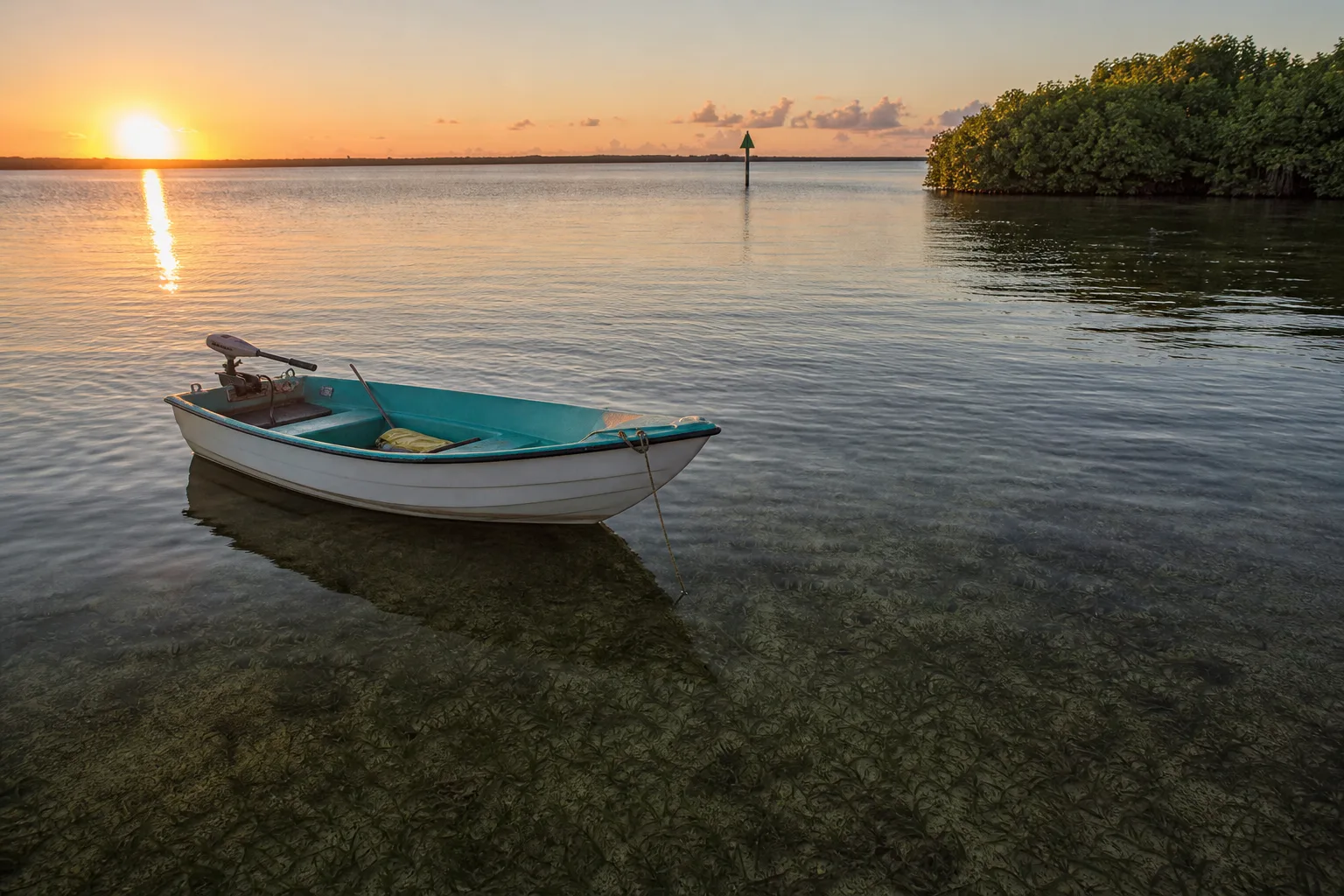
The Indian River Lagoon is a shallow estuary on Florida's east coast, about 156 miles long and with an average depth of around 4 feet, according to the St. Johns River Water Management District. That means you need to watch your draft, stay in marked channels, and follow manatee speed zones. Marinalo data, October 2026, lists 60 public ramps and launches on the lagoon, 52 of them free.
What the Indian River Lagoon is
The St. Johns River Water Management District describes the Indian River Lagoon as a 156-mile-long estuary that varies from one-half mile to five miles wide, with an average depth of four feet. It runs along the Atlantic side of central Florida, behind barrier islands, and connects to the ocean through a handful of inlets. In practice boaters often talk about it in sections, including the northern Mosquito Lagoon area, the Banana River and the Indian River itself. The names and the exact northern and southern limits vary by source, so check a chart for the area you plan to boat.
The lagoon is brackish, and the Marinalo data below shows its public access points are labeled salt or brackish. The Marinalo tide pages for lagoon towns, such as Vero Beach and Fort Pierce, show predicted tides, but always check the NOAA chart and current gauge before a shallow run.
Shallow water and the Intracoastal Waterway
With an average depth of four feet, much of the lagoon is too shallow for deep-draft boats outside the channels. The Intracoastal Waterway runs through it as a dredged, marked channel, and most cruising boats stay in that channel. See our guide to the Intracoastal Waterway in Florida and Texas for how the ICW is marked and used.
- Use current NOAA charts and stay in the marked channel unless you know the water.
- Learn how to read your depth sounder and your own boat's draft. Our draft, beam and freeboard article explains the terms.
- Shoals can shift. Do not assume the last trip's route is still deep enough.
- Know what to do if you run aground: stop, check for damage and passengers, and trim the engine up before trying to back off.
Shallow-draft boats such as jon boats and flats skiffs and bay boats suit the lagoon well, and kayaks and paddleboards work in the calm backwaters.
Manatees, speed zones and seagrass
The lagoon is manatee habitat, and boat strikes are a concern. FWC advises boaters to avoid boating over seagrass beds and shallow areas and to follow posted zones. Some zones are seasonal. For example, a Florida DEP paddling guide notes that between Cocoa and Titusville much of the western shore is a shallow manatee protection zone where slow speeds are required. Zones differ by county and change, so check FWC's manatee protection zone maps for Brevard, Indian River, St. Lucie, Martin and Volusia counties before you go. See also our manatee season guide and the article on no wake zones.
Seagrass matters for boaters because propellers scar it. FWC reports that the lagoon has lost a large share of its seagrass since 2009, mainly because of reduced light, and that conditions in parts of the lagoon remain a concern. Keep your boat out of shallow seagrass flats, trim up, and pole or paddle when you can.
Boat ramps and kayak launches
According to Marinalo data, October 2026, the Indian River Lagoon page lists 60 open ramps and launches built from the official FWC inventory:
| Item | Count |
|---|---|
| Boat ramps | 33 |
| Paddle launches | 27 |
| Free | 52 |
| Trailer spaces | 1,069 |
The listings run along the lagoon from towns such as Titusville, Vero Beach, Fort Pierce and Stuart. A few examples from the page: Parrish Park on Max Brewer Parkway has 6 lanes and 45 trailer spaces and is free; Indian River Veterans Memorial Park lists 6 lanes and 25 trailer spaces and notes a seasonal closure from November 15 through March 31; and Sebastian Inlet State Park's Coconut Point ramp lists $12. Check each ramp before you go because fees and closures change.
| Ramp (Marinalo data, October 2026) | Fee | Lanes | Trailer spaces |
|---|---|---|---|
| Parrish Park, Max Brewer Parkway | Free | 6 | 45 |
| Jensen Beach Causeway North | Free | 3 | 36 |
| Sebastian Municipal Yacht Club | Free | 2 | 54 |
| Long Point Park Campground | $3.18 | 1 | 100 |
| Sebastian Inlet State Park, Coconut Point | $12 | 3 | 16 |
Ramp pages by city give more detail: Titusville and Vero Beach. The Florida kayak launches page lists 845 hand launch sites across the state, and you can use the nearest ramp finder to see what is closest.
Fish and wildlife
The St. Johns River Water Management District lists 685 fish species in the lagoon basin, which is one reason it is popular with anglers in small boats, kayaks and on the flats. Fishing in the lagoon is saltwater fishing under FWC rules, so check species, size and bag limits and your license. Read our Florida fishing license guide first, and our fishing kayak guide if you plan to paddle.
Planning a day on the lagoon
- Pick a ramp from the Marinalo list and check its fee, lane count and trailer parking. Weekend lots fill early.
- Check the NWS forecast and the wind direction. A shallow lagoon with a long fetch builds chop quickly.
- Look up the posted or mapped manatee zones for the county where you will run.
- Plan your route on a current chart and mark channel crossings and shallow flats.
- Tell someone ashore your route and return time.
Marinas on the lagoon
Marinalo has marina city pages for lagoon towns, including Vero Beach, Titusville and Stuart. Slip rates are shown only where a marina publishes official ones. Compare cities with the Florida 40-ft slip prices.
Safety tips for the lagoon
- Wear life jackets as required and follow Florida boating rules. See Florida boating license and registration.
- Watch the wind. On a shallow lagoon, wind can build short, steep chop, and sudden storms are common in summer. Check the NWS forecast.
- Carry a chart, a depth sounder and a way to call for help.
- Rinse your boat and trailer after brackish water use.
Hurricane season and the lagoon
The lagoon sits on Florida's Atlantic coast, so storm season matters from June through November. Wind and storm surge can push water in or out of a shallow lagoon, and docks and ramps can be damaged. Follow National Hurricane Center updates, and read our hurricane prep guide for boat owners before you leave a boat in the water. After a storm, check for new debris, shifted shoals and damaged markers, and confirm that your ramp is open.
FAQ
How long is the Indian River Lagoon?
The St. Johns River Water Management District describes it as a 156-mile-long estuary. Other sources use different boundaries, so figures vary.
How deep is the Indian River Lagoon?
The average depth is about four feet, according to the St. Johns River Water Management District. Dredged channels such as the ICW are deeper, so use a current chart.
Are there manatee zones in the Indian River Lagoon?
Yes. Many areas have slow-speed or no-entry zones, and some are seasonal. Check FWC's manatee protection zone maps for the county you are in.
Is the Intracoastal Waterway in the Indian River Lagoon?
Yes. The Intracoastal Waterway channel runs through much of the lagoon. Stay in the marked channel when you need deeper water.
Can I launch a kayak on the Indian River Lagoon?
Yes. Marinalo data, October 2026, lists 27 paddle launches on the lagoon.
Sources
- Marinalo data, October 2026: Indian River Lagoon boat ramps
- St. Johns River Water Management District, Fast facts about the Indian River Lagoon
- FWC, Information for Boaters and PWC Operators (manatees)
- FWC, Manatee data and maps
- Florida DEP, Florida Circumnavigational Saltwater Paddling Trail, Segment 22 Space Coast