
Lake Ray Hubbard Boating Guide: Ramps, Marinas, Level
Lake Ray Hubbard near Dallas has 7 public ramps and a current level of 84.9% full. See ramp locations, marinas, Texas boating rules and lake facts.
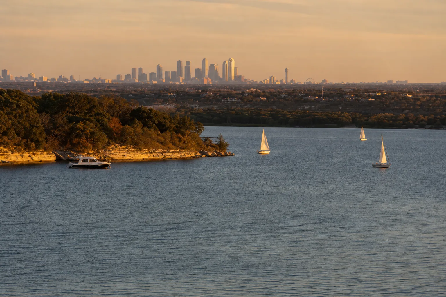
Lake Ray Hubbard is a reservoir east of Dallas, Texas, controlled by the City of Dallas, with 7 public boat ramps listed in the Texas Parks and Wildlife Department (TPWD) inventory. As of October 17, 2026, the lake was 84.9% full at 432.2 feet, or 3.3 feet below its full pool of 435.5 feet (Marinalo data, October 2026, using Texas Water Development Board readings).
This guide covers where the lake is, which ramps are open to the public, what the water level means for launching, the marinas around it and the Texas rules every boater should know. The ramp list and lake level come from Marinalo's data. Lake facts come from TPWD and the Texas Water Development Board (TWDB).
Lake Ray Hubbard at a glance
| Fact | Detail | Source |
|---|---|---|
| Location | Collin, Dallas, Rockwall and Kaufman counties, on the East Fork of the Trinity River, one mile west of Rockwall | TPWD |
| Controlling authority | City of Dallas (Dallas Water Utilities) | TPWD |
| Surface area | 21,671 acres (TPWD figure) | TPWD |
| Maximum depth | 40 feet | TPWD |
| Full (conservation) pool | 435.5 feet above NGVD29 | TWDB |
| Built | Impounded in the late 1960s (TPWD lists 1968, TWDB lists 1969) | TPWD, TWDB |
Surface acreage changes with the water level. TWDB reported about 19,462 acres on October 17, 2026, which fits a lake that is a few feet below full.
Current water level
Marinalo data, October 2026: our lake page shows Lake Ray Hubbard 84.9% full, elevation 432.2 feet against a full pool of 435.5 feet, measured October 17, 2026. That is about 3.3 feet below full pool. The Lake Ray Hubbard page updates with the latest TWDB reading and links to the history chart.
Why it matters to boaters: a lower lake means shallower water near the shoreline and at the end of ramps. Slow down near shore, watch your depth sounder and check with the ramp operator if you launch a deeper-draft boat. The level alone cannot tell us which ramps are usable on a given day, so call ahead.
Public boat ramps
The TPWD public boat ramp inventory lists 7 ramps on Lake Ray Hubbard, in Rockwall, Garland, Dallas and Rowlett (Marinalo data, October 2026):
- Chandlers Landing Marina Boat Ramp
- Harbor Bay Marina Boat Ramp
- John Paul Jones Park Boat Ramp
- Lake Ray Hubbard Boat Ramp (two separate entries)
- State Highway 66 Boat Ramp (marked free)
- Terry Park Boat Ramp
Only the State Highway 66 ramp is marked as free in the inventory. Fees and hours for the others are not listed in our data, so confirm them with the city or marina before you go. For city-level ramp lists, see our pages for Rockwall, Garland, Rowlett and Dallas, or the full Texas boat ramps directory.
Marinas on and near the lake
Marinalo lists these marinas in lakeside cities (phone numbers are from our listings, and none has an official posted slip rate in our data, so call for pricing and availability):
| City | Marina | Phone |
|---|---|---|
| Rockwall | Chandlers Landing Marina | 972-771-8865 |
| Rowlett | Sapphire Bay Marina | 972-412-1977 |
| Garland | Captain's Cove Marina | 972-226-7100 |
| Garland | Lake Pointe Marina | 972-240-2020 |
Our data shows no fuel docks flagged in these cities. If you need gas, check the Texas fuel docks directory and call the marina. Ask about ethanol-free gas if your engine needs it. For wider Texas marinas, see the Texas hub.
What to boat here
A big, open lake near a metro area handles most boat types. Anglers use bass boats, jon boats and bay-style skiffs (see skiff, bay boat and flats boat), while families lean toward pontoons and deck boats. TPWD says standing timber is the most abundant cover above Interstate 30 and that hydrilla in some areas holds largemouth bass. The lake also supports white and hybrid striped bass, channel and blue catfish and white crappie. Standing timber and shallow flats are reasons to keep your speed down in unfamiliar water. Check the TPWD lake page for fishing information.
Texas rules that apply
- Boater education: Anyone born on or after September 1, 1993 must complete a TPWD-approved boater course and carry a photo ID to operate a vessel with a motor over 15 horsepower, or a windblown vessel over 14 feet. The course is recommended for everyone.
- Engine cut-off switch: TPWD says the engine cut-off switch must be worn by the operator on any vessel under 26 feet in length. Check TPWD for exceptions.
- Alcohol: Operating a boat with a blood alcohol concentration of .08 or higher is an offense. A first conviction can bring a fine up to $2,000, up to 180 days in jail, or both.
- Drain your water: Texas law requires boaters to drain all water from their boat and gear before approaching or leaving a public fresh water body. Remove harmful aquatic plants from your boat and trailer right away.
- Life jackets: See our guide to Coast Guard approved life jackets.
If you tow a tube or skier, read boat tubing safety. TPWD also limits waterskiing hours: not between half an hour after sunset and half an hour before sunrise.
Before you launch
- Clip on the engine cut-off switch if your boat is under 26 feet.
- Make sure the boat, trailer, livewells and bilge are drained and free of plants.
- Look for a diver-down flag. TPWD says not to operate within 50 feet of one, and not within 150 feet except at headway or steerage speed.
- Do not run at a speed greater than is reasonable and prudent. TPWD lists that as an offense, and reckless operation can bring a fine of $200 to $2,000, up to 180 days in jail, or both.
- Tell someone your plan and your expected return time.
Practical tips
- Check the lake level on our lake page before you go and again if there has been heavy rain or a dry spell.
- Wind builds waves on a large, open reservoir. Check the forecast and be ready to head in.
- Use our knots to mph converter if your GPS or the forecast uses knots.
- Keeping your boat on the lake or at home? See boat storage options.
Why a big lake needs a plan
Lake Ray Hubbard is a water supply reservoir for Dallas, which is why its level can change with demand and rainfall. With more than 21,000 surface acres at full size and close to a metro area, expect weekend traffic. Launch early on busy days, agree on a meeting point with your crew, and keep a copy of the ramp's phone number in your phone. If you are new to the lake, spend your first outing learning the main channels and shoreline before venturing into coves.
FAQ
Who owns Lake Ray Hubbard?
TPWD lists the City of Dallas, through Dallas Water Utilities, as the reservoir's controlling authority.
How many boat ramps are on Lake Ray Hubbard?
Seven public ramps are in the TPWD inventory, according to Marinalo data, October 2026.
How big is Lake Ray Hubbard?
TPWD lists 21,671 surface acres, with a maximum depth of 40 feet. The actual area shrinks and grows with the water level.
What is the water level at Lake Ray Hubbard now?
On October 17, 2026, it was 84.9% full at 432.2 feet, against a full pool of 435.5 feet. Check our lake page for the latest reading.
Do I need a license to boat on Lake Ray Hubbard?
Texas requires boater education, not a separate license: operators born on or after September 1, 1993 need an approved course to run a motor over 15 horsepower or a windblown vessel over 14 feet. See TPWD for registration requirements.