
Suwannee River Boating Guide: Ramps, Springs and Water Levels
Suwannee River boating guide: 67 public ramps and launches, springs, the Wilderness Trail, Gulf sturgeon safety and how to check river levels, with Marinalo data, October 2026.
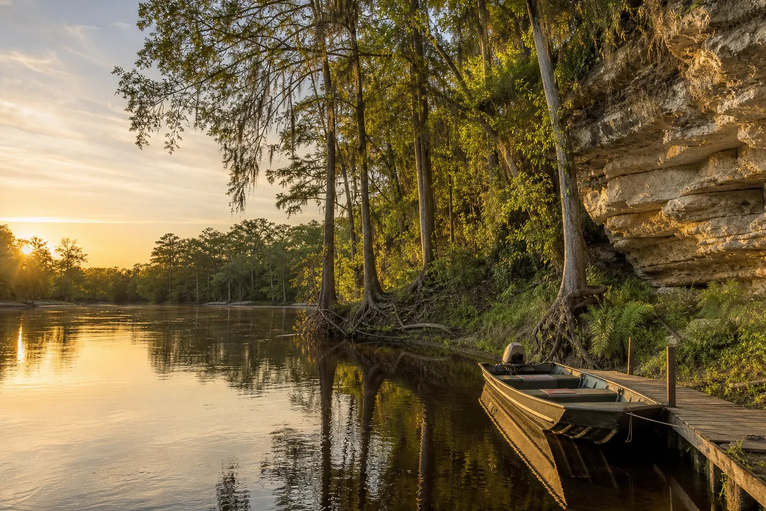
The Suwannee River is a spring-fed river that flows from the Okefenokee Swamp in Georgia through north Florida to the Gulf of Mexico. Marinalo data, October 2026, lists 67 public boat ramps and paddle launches on it, 54 of them free. Check river levels before you go, because low water exposes limestone and logs, and stay alert for jumping Gulf sturgeon in the lower river.
The river at a glance
Sources give slightly different lengths because they start in different places. The Florida Department of Environmental Protection's trail data book describes the river as about 246 miles from the Okefenokee Swamp to the Gulf. Other sources use 235 miles. The Suwannee River Wilderness Trail, the paddling route managed by Florida State Parks, covers about 170 miles from the U.S. 41 bridge at White Springs to the Gulf of Mexico.
The river is known for tannin-stained water, limestone banks, sandbars and many freshwater springs, several of them inside state parks. Boating ranges from small paddle craft in the upper river to jon boats and bay boats in the lower river, where the Suwannee meets the Gulf near Suwannee and Cedar Key.
Ramps and launches on the river
According to Marinalo data, October 2026, the Suwannee River page lists 67 open ramps and launches built from the official FWC inventory.
| Item | Count |
|---|---|
| Boat ramps | 49 |
| Paddle launches | 18 |
| Free | 54 |
| Trailer spaces | 369 |
Most ramps are single lane with few trailer spaces, so arrive early on weekends and holidays and bring a small boat. A few examples from the page:
- Hutch Gibson Park Public Boat Ramp (Noble's Ferry) has 2 lanes and 15 trailer spaces and is free.
- Ivey Memorial Park and Boat Ramp has 2 lanes and 20 trailer spaces and is free.
- Lafayette Blue Springs State Park Boat Ramp lists $4.
- Manatee Springs State Park, Usher Landing is marked small boats only and lists $6.
- Stephen Foster Folk Culture Center has a canoe and kayak launch listed at $5.
Some ramps are marked salt or brackish near the Gulf, and most upriver ramps are freshwater. Check ramp pages for nearby towns such as Live Oak, Branford and Old Town. The Florida kayak launches page helps if you are paddling, and the nearest ramp finder sorts by distance.
Springs along the Suwannee
The river is known for its springs, and several of the Marinalo ramp and launch listings sit at spring parks, including Lafayette Blue Springs, Manatee Springs, Fanning Springs and Troy Spring state parks. Park rules apply, and Marinalo's listings show fees and size limits that differ by park (for example, Usher Landing at Manatee Springs is marked small boats only). Check each park's page at Florida State Parks before you go.
Swimming areas and boat channels can overlap, so keep your speed down near the spring boils, watch for swimmers, and wear a life jacket. See our guide to Coast Guard approved life jackets for the right type.
The Suwannee River Wilderness Trail
The Suwannee River Wilderness Trail is a paddling and camping route along the river. Florida State Parks and the Florida DEP describe it as running about 170 miles from White Springs to the Gulf, with state parks and river camps along the way. The DEP data book lists five river camps, Woods Ferry, Holton Creek, Dowling Park, Peacock Slough and Adams Tract, each with screened sleeping platforms. Camps can close after storms: a Florida State Parks notice has said Holton Creek was closed for damage from Hurricane Helene, so check the current status and reservation rules on the Wilderness Trail page before planning a multi-day trip.
Paddlers should also know that Big Shoals, in the upper river, has sharp limestone and the data book recommends portaging. Read our sit-on-top vs sit-in kayak and canoe vs kayak guides if you are choosing a boat.
River levels
River level drives everything on the Suwannee. High water can bring current, debris and flooded landings. Low water exposes limestone ledges, sandbars and snags, and some ramps and springs runs can become hard to use. Check live data before you leave, and do not rely on last year's trip:
- USGS gauge Suwannee River at White Springs for the upper river.
- USGS gauge Suwannee River near Wilcox for the lower river.
- The Suwannee River Water Management District for river and drought conditions.
Each landing has its own minimum level, so ask a local outfitter or the park about the level that works for your boat. Near the coast, the river is also affected by tide and wind; the Marinalo Cedar Key tide page is a nearby coastal reference for the Gulf side.
Gulf sturgeon: a real hazard
Gulf sturgeon, a protected fish, jump out of the water in the Suwannee, especially in the summer months, and collisions with boats have injured people. FWC and NOAA say the same thing: slow down so you have time to react, keep passengers off the bow, stay alert in all directions and wear a life jacket. FWC has posted sturgeon warnings at ramps. Read FWC's sturgeon page and boater advisory for details.
Planning a trip
- Choose a section. The upper river near White Springs is a paddling stretch with rocky shoals. The middle river has the most springs and camps. The lower river is wider and reaches the Gulf.
- Check the USGS gauges and the water management district the morning you launch.
- Pick two landings and confirm both are open, since storm damage can close access points.
- Pack life jackets for everyone, a whistle, a chart or offline map, and a way to call for help. Cell coverage can be patchy along the river.
- Tell someone your launch, take-out and expected return time.
Fishing and other rules
Fishing on the Suwannee is a mix of freshwater and saltwater, depending on where you are, and licenses and limits change at the boundary. Read our Florida fishing license guide and check FWC's Suwannee and Santa Fe Rivers fishing page for species and reports. FWC also announced navigation marker upgrades in McGriff Pass, Alligator Pass and Salt Creek on the lower river in 2026, so charts and markers may be changing.
Florida has education and registration rules for boat operators and vessels. The Marinalo Florida boating license and registration page explains who needs what.
Gear that helps on a river trip
A river trip has its own gear list. Bring a throwable flotation device if your boat requires one, a paddle or push pole as a backup in a motorboat, a first aid kit, and a spare prop and shear pins if you run an outboard in snag-prone water. A light anchor helps you hold position at a sandbar. Our boat navigation lights guide matters if you might return after dark, and our jon boat guide explains why shallow-draft boats suit rivers like this.
FAQ
How long is the Suwannee River?
The Florida DEP data book gives about 246 miles from the Okefenokee Swamp to the Gulf. Other sources say 235 miles, depending on where the river is measured from.
Where does the Suwannee River start and end?
It starts in the Okefenokee Swamp in Georgia and flows through north Florida to the Gulf of Mexico.
How many boat ramps are on the Suwannee River?
Marinalo data, October 2026, lists 67 open ramps and launches on the Suwannee River: 49 boat ramps and 18 paddle launches.
Are there sturgeon in the Suwannee River?
Yes. Gulf sturgeon live in the river and jump, so slow down and keep people off the bow.
Where can I check Suwannee River levels?
Use the USGS gauges at White Springs and near Wilcox and the Suwannee River Water Management District.
Sources
- Marinalo data, October 2026: Suwannee River boat ramps
- Florida DEP, Suwannee River Wilderness Trail overview and data book
- Florida State Parks, Suwannee River Wilderness Trail
- FWC, FWC urges boaters to go slow and be alert for jumping sturgeon
- USGS, Suwannee River near Wilcox and at White Springs
- FWC, Navigation marker upgrades in the Suwannee River