
Lake Buchanan Boating Guide
Lake Buchanan boating guide: LCRA ramps and minimum levels, 1,018.4 ft on Oct. 17, 2026, nearby Inks Lake, marinas in Buchanan Dam and Kingsland, and rules.
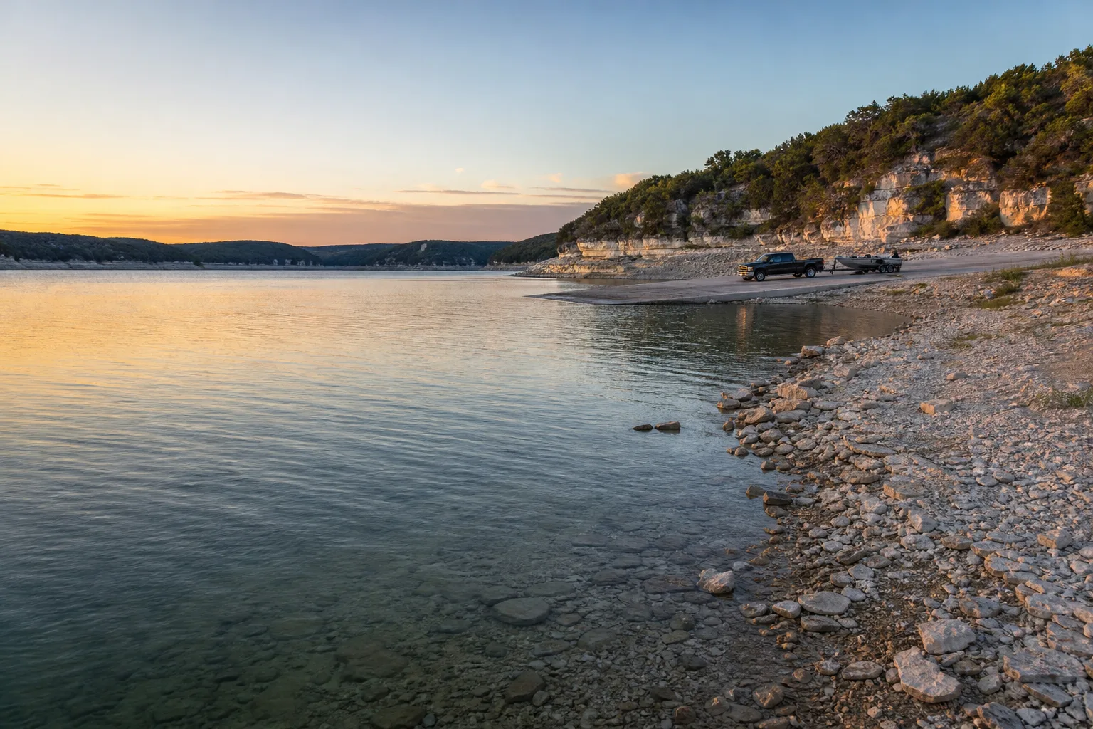
Lake Buchanan is a Highland Lakes reservoir on the Colorado River in Burnet and Llano counties, Texas, and it is run by the Lower Colorado River Authority (LCRA). On October 17, 2026 it stood at about 1,018.4 feet, roughly 1.6 feet below its 1,020-foot full pool, and Marinalo's lake page showed it 96% full (Marinalo data, October 2026, measured October 17, 2026).
This guide covers the lake's size and character, the four ramps in the Texas Parks and Wildlife Department (TPWD) inventory, the minimum water level LCRA lists for each ramp, nearby Inks Lake, the marinas Marinalo lists in lakeside towns and the rules to know before you launch.
Lake Buchanan at a glance
| Item | What the sources say |
|---|---|
| Location | On the Colorado River in Burnet and Llano counties, west of the town of Burnet (TPWD) |
| Surface area | 22,211 acres (TPWD) |
| Maximum depth | 132 feet (TPWD) |
| Impounded | 1937 (TPWD) |
| Conservation pool | 1,020.35 feet above sea level (TPWD); Marinalo uses 1,020 feet as full pool |
| Level fluctuation | TPWD lists it as "considerable" |
| Water clarity | Clear at the dam, gradually more turbid upstream (TPWD) |
| Controlling authority | Lower Colorado River Authority |
| Public ramps, TPWD inventory | 4, via Marinalo |
The "considerable" fluctuation is the key difference between Buchanan and the lakes downstream. Our Lake LBJ guide explains how LCRA holds that lake in a narrow band, and the Lake Travis guide covers the other big Highland Lake whose level swings widely. Buchanan sits with Travis on the "level matters" side, so check the number before you tow.
Access and ramps
Marinalo has a page for Lake Buchanan boat ramps showing 4 open ramps and launches: three entries named Lake Buchanan Boat Ramp and Llano County Park Boat Ramp. Marinalo's county pages show how they split up: the Burnet County page has two Lake Buchanan ramps, and the Llano County page has two more, including Llano County Park.
LCRA's public boat ramp page names four Lake Buchanan ramps and the county or agency that maintains them:
| Ramp | Maintained by | Minimum usable lake level | Cushion at 1,018.4 ft |
|---|---|---|---|
| Buchanan Dam Park | Burnet County | 1,004 ft (LCRA notes a beach launch may be available) | About 14.4 ft |
| White Bluff Park | Burnet County Pct. 1 | 993 ft | About 25.4 ft |
| Cedar Point Recreation Area | LCRA | 1,007 ft | About 11.4 ft |
| Llano County Park | Llano County | 1,003 ft | About 15.4 ft |
The cushion column is simple subtraction from LCRA's October 17, 2026 reading, not an LCRA figure. LCRA lists a contact number for each ramp, and says to confirm before launching. The page does not state an open or closed status, so call.
Current level and low-water implications
Two readings from October 17, 2026 agree closely: LCRA's boat ramp page showed Lake Buchanan at 1,018.40 feet at 12:10 PM, and Marinalo's lake page, using Texas Water Development Board data, showed 1,018.5 feet and 96% full (Marinalo data, October 2026). Both are above every ramp minimum on LCRA's list.
What a drop means depends on the ramp. Cedar Point's 1,007-foot minimum is the highest of the four, so it would be the first to go out of service as the lake falls, with Buchanan Dam Park and Llano County Park next. White Bluff Park has the lowest minimum, which makes it the ramp to watch in a dry year. Because TPWD calls the fluctuation considerable, do not assume a ramp that worked on your last trip works now.
- Check the number: LCRA publishes current levels on its boat ramp page and its Highland Lakes level pages.
- Check the ramp: use the number LCRA lists beside the ramp, then call the maintaining county or LCRA.
- Floods: LCRA notes that lakes are often closed to recreational boaters during severe floods.
Inks Lake: the small lake nearby
Inks Lake is a much smaller Colorado River lake in Burnet County, west of the town of Burnet. TPWD lists it at 831 acres, 60 feet deep, impounded in 1938, with a level that moves about 1 foot a year. Marinalo's Inks Lake page shows one ramp, Inks Lake State Park, and a level of 887.2 feet, 95.2% full, on October 17, 2026. LCRA lists the state park ramp with a minimum lake level of 882 feet, notes that prepaying online is required and gives the park phone number as 512-793-2223. With the lake held tightly, Inks is a steadier choice when Buchanan's ramps get tight.
Marinas and fuel
Marinalo does not have a city ramp page for Burnet, Tow or Kingsland, and it has no marina page for Burnet or Tow. It does have two marina city pages near the lake:
| City page | Listing | Notes |
|---|---|---|
| Buchanan Dam | Anchors Boat Storage (rates on request) | A boat storage business; call to ask what it offers |
| Kingsland | Brock Dock Outdoor Life (rates on request) | No source shown that it is on Lake Buchanan; call to confirm |
No source I used shows either business sitting on Lake Buchanan itself, so treat these as marinas listed in lakeside towns. Marinalo lists no fuel docks in either city as of October 2026. If fuel matters for your day, ask the ramp operator or marina what is available, or look at the Texas fuel docks page for options elsewhere. Our guide to ethanol-free gas for boats explains why the fuel type matters.
Rules
- Zebra mussels: TPWD says zebra mussels have invaded both Lake Buchanan and Inks Lake. Texas law requires draining all water from the boat, trailer and livewells before leaving the vicinity of a freshwater lake, and possessing or transporting zebra mussels is illegal. Clean, drain and dry before the next lake.
- Life jackets: on recreational vessels under 26 feet, every child under 13 must wear a U.S. Coast Guard-approved life jacket while underway (TPWD). See our guide to Coast Guard-approved life jackets.
- Boater education: required for anyone born on or after September 1, 1993 who operates certain vessels on Texas public waters. Check TPWD for the exact scope.
- Fishing: TPWD says all species are managed under statewide regulations, but bow fishers are subject to special LCRA regulations.
Safety
A lake with clear water near the dam and turbid water upstream behaves differently from end to end. Keep these basics in mind:
- Watch your depth when the lake is below full, especially upstream where the water is murky.
- Confirm the forecast for the area. Our guide to special marine warnings and small craft advisories explains the alerts.
- Tell someone ashore where you are going and when you will be back.
Planning a trip
TPWD describes Lake Buchanan as noted for excellent striped bass and white bass fishing, with largemouth bass and Guadalupe bass also present, and says all species follow statewide regulations apart from the special LCRA rules for bow fishing. Anglers are a big part of the traffic, so a morning launch is the usual plan. The water clarity pattern, clear at the dam and murkier upstream, also affects where people choose to fish and swim.
- The night before: look up the lake level on LCRA's ramp page and compare it with your ramp's minimum.
- Before leaving home: call the county or LCRA contact for your ramp, and check the forecast.
- At the ramp: drain and clean your gear if you are arriving from another lake, since zebra mussels are present here.
- Towing a big boat? See our boat towing capacity guide before you tow to the lake.
FAQ
How full is Lake Buchanan?
On October 17, 2026 it was about 1,018.4 to 1,018.5 feet, or 96% full against a 1,020-foot full pool (LCRA and Marinalo data, October 2026).
How many public boat ramps does Lake Buchanan have?
The TPWD inventory shows 4 ramps and launches, and LCRA's ramp page names four: Buchanan Dam Park, White Bluff Park, Cedar Point Recreation Area and Llano County Park.
Who manages Lake Buchanan?
The Lower Colorado River Authority (LCRA), according to TPWD.
Does Lake Buchanan have zebra mussels?
Yes. TPWD says zebra mussels have invaded the lake, and Texas law requires you to drain your boat before leaving.
Is Inks Lake open to boating?
Yes. Inks Lake State Park has a boat ramp, with a minimum usable lake level of 882 feet and prepayment required online, according to LCRA.