
St. Johns River Boating Guide: Ramps, Sections and Manatees
Boating the St. Johns River in Florida: how long it is, why it flows north, its three sections, where to launch, manatee season at Blue Spring and the tides near Jacksonville.
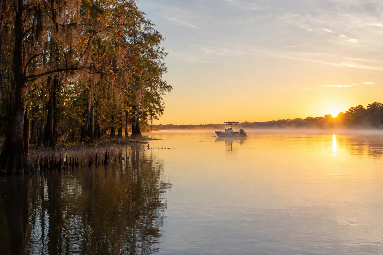
The St. Johns River is Florida's longest river, about 310 miles from its headwater wetlands west of Vero Beach to the Atlantic at Mayport, and it flows north for most of that distance. For boaters it is three very different waters: a shallow marshy upper river, a middle river of broad lakes and springs, and a wide, tidal lower river through Jacksonville. Marinalo's data lists 107 public ramps and launches along it (October 2026).
This guide explains the river's sections, where to launch, how manatee season shapes winter trips on the middle river, and how tides matter near Jacksonville.
Why the St. Johns flows north
Florida's land is very flat, and the St. Johns drops only about 30 feet from source to mouth. According to a St. Johns River Water Management District (SJRWMD) education publication and general references, the river runs north from the headwaters until it reaches Jacksonville, then turns east for roughly 25 miles to the ocean at Mayport. That gentle slope is why the current is slow in most places, and why wind often matters more than current for small boats.
It also means the lower river behaves like an estuary. Tides push far upstream, and the water changes from fresh to brackish to salty as you approach Mayport. See our guide to ebb, flood and slack tide if those terms are new.
The three sections at a glance
River managers usually split the river into upper, middle and lower basins. Older Army Corps of Engineers mile markers put the upper basin at about 113 miles running north to river mile 191, and the middle basin from there to about mile 101, with the lower basin reaching the ocean. Those boundaries date from a 1980s study and agencies may draw them differently today, so treat the numbers as a rough guide.
| Section | Character | Typical boating |
|---|---|---|
| Upper river | Marsh, shallow, narrow channels | Airboats, small jon boats, paddlers |
| Middle river | Lakes such as Monroe and George, springs, cypress banks | Bass and crappie fishing, pontoons, cruising, manatee viewing in winter |
| Lower river | Wide, tidal, ship channel through Jacksonville | Bay boats, center consoles, cruisers, sailboats |
Because conditions vary so much, match the boat to the section. A deep-V hull is comfortable on the wide lower river but is wasted in the upper marsh, where a jon boat is more practical.
Middle river: lakes, springs and cypress shorelines
The middle river is where many recreational boaters spend their time. Lake Monroe sits near Sanford, and Lake George is a broad open stretch of the river farther north. Both are big enough to build a chop when the wind picks up, so check the forecast and know the difference between a special marine warning and a small craft advisory before you go. Towns such as Astor, Palatka and Sanford have public access; see Marinalo's ramp listings for Astor, Palatka and Sanford.
Many side creeks and springs feed the river here. They are quiet and scenic, but they can be shallow, stumpy and narrow, so slow down and watch for submerged logs.
Lower river: Jacksonville and the ship channel
Near Jacksonville the river is wide and deep because it carries commercial ship traffic to the port and Navy traffic at Mayport. Large vessels cannot stop or turn quickly, so small boats should stay clear of the channel, keep a lookout and cross it at a right angle when needed. If you are new to the rules of the road, review port and starboard and the navigation lights guide before running at dusk.
Because the lower river is tidal, timing matters. Jacksonville has a tide page on Marinalo: Jacksonville tide times. Strong tidal current under bridges and at the river mouth can run against wind and kick up steep waves, so plan transits around slack water if you are in a small boat. Our tide chart guide shows how to read the numbers. You can also browse Jacksonville boat ramps and Jacksonville marinas.
Boat ramps on the St. Johns
Marinalo's data from the official FWC inventory lists 107 public ramps and launches on the St. Johns River as of October 2026: 86 boat ramps and 21 paddle launches. Of these, 79 are free, and together they have 1,534 trailer spaces. Water type is fresh and salt, reflecting the tidal lower river. The full list and map are on the St. Johns River ramp page.
Ramp tips for this river:
- Check the ramp page for fees, parking and number of lanes before a weekend trip.
- On the tidal lower river, launching at low tide can mean a shorter ramp with less water at the end.
- Paddlers can find options on the Florida kayak launches page.
- Fuel is not available at every stretch; use the Florida fuel docks list to plan range.
Manatees and Blue Spring
When Florida's water cools in winter, manatees move into warmer springs and rivers. Blue Spring in Volusia County, a designated manatee refuge on the St. Johns, is the best-known winter gathering spot. SJRWMD states that the spring and its run are closed to all water activity from mid-November to at least mid-March, and that swimming or diving with manatees is not allowed during that period. Boaters on the river itself should watch for speed zones posted for manatees and slow down; read our manatee season guide for how manatee zones work, and the no-wake zones article for what the signs mean. Check the exact zones that apply where you boat with FWC.
Fishing on the St. Johns
You need a saltwater license in the tidal lower river and a freshwater license in the upper river, with a boundary in between that FWC defines. See our Florida fishing license guide and check FWC for the current line. Anglers who target snook in the northeast part of the state should know the river falls in a specific snook region; the snook season article covers it.
Safety checklist
- Wear a Coast Guard approved life jacket.
- Carry a VHF radio on the lower river, where ship traffic is common.
- Check the forecast for afternoon thunderstorms in summer; the river has few places to shelter in open stretches.
- Watch for floating debris after heavy rain.
- Stay out of closed zones around springs in winter.
Planning a day on the river
Start with the section you want to boat, then pick a ramp close to it and check the weather and, on the lower river, the tide. For a first trip, many boaters choose a short out-and-back run from a ramp with plenty of trailer parking, so they can learn the river's channels and landmarks before attempting a longer cruise. Note the location of the next fuel stop, keep a paper or offline chart in case cell coverage drops along the cypress-lined stretches, and tell someone your planned return time. Water levels and conditions change with rainfall and season, so look at recent local reports before you go.
FAQ
How long is the St. Johns River?
About 310 miles, making it the longest river in Florida.
Why does the St. Johns River flow north?
Florida's terrain slopes gently northward along the river's valley, and the river falls only about 30 feet over its length. It flows north until Jacksonville, then east to the ocean.
Where does the St. Johns River enter the ocean?
At Mayport, east of Jacksonville.
Is the St. Johns River tidal?
Yes, the lower river near Jacksonville is tidal. Use the Marinalo Jacksonville tide page for daily times.
How many boat ramps are on the St. Johns River?
Marinalo's data lists 107 public ramps and launches, 86 of them boat ramps (October 2026).
Can I see manatees on the St. Johns River?
Yes, mostly in cooler months. Blue Spring State Park is the best-known site; the spring run is closed to water activity in winter, so view from the park.