
Key West Boating Guide: Marinas, Ramps, Tides and Rules
Key West boating guide with marinas, boat ramps, fuel docks, tide ranges, sanctuary rules, mooring buoys and hurricane-season planning, using Marinalo data from October 2026.
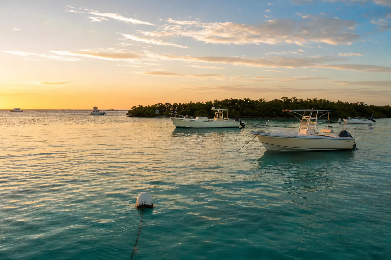
Key West boating means a small number of marinas, a handful of public ramps, shallow flats with a narrow tidal range, and a federally protected sanctuary around you. According to Marinalo data, October 2026, Key West has 8 marinas, 5 of them with a fuel dock, and 8 public boat ramps. Plan for the sanctuary rules, use mooring buoys instead of anchoring on coral, and watch the weather from June through November.
Key West marinas
Marinalo lists 8 marinas in Key West, based on official rate sheets where available. As of Marinalo data, October 2026, only 2 of the 8 publish official rates, and 5 have a fuel dock. Where the rate is published, the nightly rate for a 40-ft boat is shown at a median of $186. Always call to confirm, because rates change by season and by event.
| Marina | Published rate (Marinalo data, October 2026) | Fuel dock |
|---|---|---|
| Key West Bight Marina | $186 per night and $1,400 per month, 40-ft boat | Yes |
| Sunset Marina | $2,162 per month, 40-ft boat | Yes |
| A & B Marina | Rates on request | Yes |
| Conch Harbor Marina | Rates on request | Yes |
| Stock Island Yacht Club & Marina (Key West Harbour) | Rates on request | Yes |
| Galleon Marina | Rates on request | Not listed |
| Hilton Key West Resort & Marina | Rates on request | Not listed |
| Murray Marine | Rates on request | Not listed |
See every marina, with phone numbers, on the Marinalo Key West marinas page. If you are comparing the Keys to the rest of the state, the Florida 40-ft slip prices page shows what other cities charge, and the liveaboard marinas page helps if you are thinking of staying aboard.
Because few Key West marinas publish rates, book early for winter and for holiday and event weekends, and ask about transient availability, depth at the slip, water and power, and whether the dock requires a vessel length or beam limit.
Boat ramps and launches
The Marinalo page for Key West, built from the official FWC boat ramp inventory, lists 8 boat ramps and 1 paddle launch. Six are free, and the page counts 37 trailer spaces in total (Marinalo data, October 2026). With so few trailer spaces, arrive early on weekends and in season, since lots fill quickly. Find locations, fees and parking on the Key West boat ramps page. The water is salt or brackish, so rinse your trailer and boat after each trip.
Nearby ramps and launches, and the statewide list, are on the Florida boat ramps page. If you are paddling, the Florida kayak launches page lists paddle access. For a low-cost way onto the water, see our guide to sit-on-top vs sit-in kayaks.
Tides around Key West
Tides in the Keys are small compared with much of the US coast. In the Marinalo 7-day Key West tide table for October 17 to 23, 2026, the daily range between high and low water stays between 1.4 and 1.6 ft, with high tides from about 2.1 to 2.2 ft and lows from about 0.6 to 0.8 ft. Tide offsets on that page are published by NOAA, and the page is not for navigation. See the full table on the Key West tide chart.
Small range does not mean small risk. Flats and channels are shallow, and a foot of water can make the difference between floating and grounding, especially on a lowering tide. Tidal current also runs through cuts and channels between islands, and the strongest flow may not match high or low water. Our guide to ebb, flood and slack tide explains how to plan around it, and our tides hub covers other places.
Florida Keys National Marine Sanctuary rules
Almost all the water around Key West is part of the Florida Keys National Marine Sanctuary, managed by NOAA. The rules are detailed, so use the NOAA list and the sanctuary maps before you go. The main points a boater should know, from NOAA's regulations page:
- Anchoring and coral. Having a vessel anchored on living coral is prohibited, and so is damaging coral, seagrass or other immobile organisms, including prop scarring.
- Speed near shore and flags. Outside marked channels, vessels may not exceed 4 knots or "no wake" within 300 feet of residential shorelines, stationary vessels or navigational aids marking reefs. Within 300 feet of a divers-down flag, run at idle speed or no wake.
- Discharge. Discharging sewage, trash and other materials is prohibited.
- Sanctuary Preservation Areas (SPAs). Marked with yellow buoys, SPAs prohibit fishing by any means. NOAA lists the anchoring ban in SPAs as not taking effect until 2027, so check current status.
- Wildlife management areas. Marked with white and orange buoys and signs, these may be idle speed, no motor (paddle, pole, sail or electric only), no anchor or no entry. Look for the signs.
- Refuges. NOAA lists personal watercraft, airboats and water skiing as prohibited in the Great White Heron and Key West National Wildlife Refuges.
These summaries are not a complete legal text, which is in the federal regulations (15 CFR 922 Subpart P). Confirm any pending change with the sanctuary before relying on this page.
Mooring buoys
The sanctuary maintains more than 600 mooring buoys, according to NOAA's buoy program page. They are free, first come, first served, and are white spheres with a blue stripe. Standard buoys support vessels up to 59 feet, while larger buoys for vessels from 60 to 100 feet exist only at specific sites. Yellow boundary buoys have no lines, so never tie to them. If no buoy is free and you are outside a no-anchor zone, you may anchor in sand away from coral and seagrass. To report a damaged buoy line between Marathon and Key West, call the number on NOAA's buoy page.
Fuel
Five Key West marinas list a fuel dock in Marinalo data (October 2026): Key West Bight, Sunset Marina, A & B Marina, Conch Harbor and Stock Island Yacht Club & Marina. Fuel is often more costly on the island than on the mainland, so top off before you cross if the route allows. Browse more on the Florida fuel docks page. If your engine is not rated for ethanol blends, read our guide to ethanol-free gas for boats and ask the dock what it sells.
Weather and seasons
The Atlantic hurricane season runs from June 1 to November 30, according to NOAA's National Hurricane Center, and the Keys are exposed because the islands are low and evacuation takes planning. If you keep a boat here, have a storm plan: haul-out or a hurricane hole, lines and chafe gear, and a plan for when to leave. In winter, cold fronts bring strong northerly winds that can make crossings rough even on sunny days.
Daily, afternoon thunderstorms are common in summer, and wind funnels through channels. Learn the difference in forecast alerts with our guide to special marine warnings vs small craft advisories.
Rules and paperwork
Florida registration, boater education and safety equipment rules apply in Key West, as elsewhere in the state. See the Marinalo page on Florida boating license and registration and check the FWC site for the current rules. Carry life jackets for everyone aboard, and see our guide to Coast Guard approved life jackets.
FAQ
How many marinas are there in Key West?
Marinalo lists 8 marinas in Key West, with 5 fuel docks (Marinalo data, October 2026).
Are there free boat ramps in Key West?
Marinalo's Key West ramp list counts 8 ramps, of which 6 are free (Marinalo data, October 2026). Fees and rules can change, so check the page.
Can I anchor anywhere around Key West?
No. Anchoring on living coral is prohibited, and other areas have anchoring restrictions. Use a free mooring buoy when one is available, or anchor in sand away from coral and seagrass.
How big are tides in Key West?
Small. In the Marinalo table for October 17 to 23, 2026, the daily range stays between 1.4 and 1.6 ft.
When is hurricane season in the Keys?
June 1 to November 30, per NOAA.