
Cedar Creek Lake Boating Guide
Cedar Creek Lake boating guide: 14 public ramps, level of 316.4 ft (73.8% full) on Oct. 17, 2026, TRWD rules, marinas in nearby towns and safety.
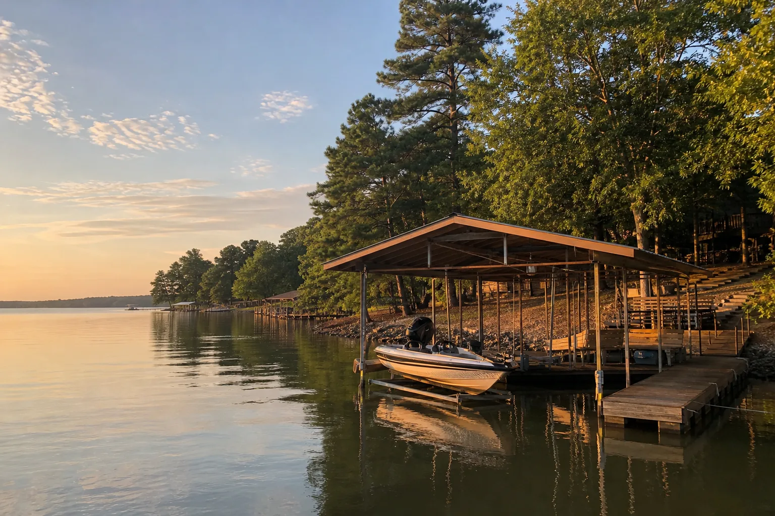
Cedar Creek Lake is a 32,000-acre reservoir in Henderson and Kaufman counties, owned by the Tarrant Regional Water District (TRWD). Texas Parks and Wildlife Department (TPWD) ramp data lists it as both Cedar Creek Lake and Cedar Creek Reservoir, and on October 17, 2026 the lake stood at 316.4 feet, 73.8% full against a full pool of 322 feet (Marinalo data, October 2026, from Texas Water Development Board readings).
This guide explains the double listing, shows where the ramps are, what the lower-than-full level means for launching, which marinas Marinalo lists in the lakeside towns and the rules to know before you go.
Cedar Creek Lake at a glance
| Item | What the sources say |
|---|---|
| Location | About 15 miles west of Athens, between US 175 and Texas 274 (TPWD) |
| Counties | Henderson and Kaufman (TRWD) |
| Surface area | 32,623 acres (TPWD) |
| Maximum depth | 53 feet (TPWD) |
| Impounded | 1965 (TPWD) |
| Conservation pool | 322 feet above sea level; normal fluctuation 4 feet (TPWD) |
| Controlling authority | Tarrant Regional Water District |
| Hours | TRWD lists the lake as open 24 hours a day, seven days a week |
TPWD describes the water as moderately clear at the lower end of the lake and muddy at the upper end. Native vegetation grows in coves and creek arms near the lower end. Largemouth bass fishing is best in the lower, clearer part, and TPWD says all species are managed under statewide regulations.
One lake, three names in the ramp data
The TPWD ramp inventory files ramps on this lake under three names: Cedar Creek Reservoir, Cedar Creek Lake and Cedar Creek. Marinalo groups them on a single page, Cedar Creek Reservoir boat ramps, with 14 ramps and launches from Gun Barrel City, Seven Points, Caney City and Mabank, including Tom Finley Park Boat Ramp (Marinalo data, October 2026). Some entries may still describe the same facility, so check the map before you drive. The city pages for Mabank (3 ramps) and Gun Barrel City (2 ramps) narrow it down.
Access and ramps
TPWD's access page says there are two public boat ramps and several private marinas, and warns that some private ramps may be hard to use at low water. Its chart names these access points:
| Access point | What TPWD says |
|---|---|
| Chamber Island | Reached from Seven Points on Texas 334 (FM 85); two-lane paved ramp in the middle of the causeway bridge, open all year, operated by the Cedar Creek Lake Organization |
| Sandy Shores Marina | East shore, off Big Chief Drive near Gun Barrel City; one-lane ramp described as usable at various lake levels; privately operated |
| Lone Star Marina | West shore at mid-lake, reached from Texas 274; private ramp |
| Log Cabin | Four-lane ramp described as usable at various water levels; operated by the City of Log Cabin |
| County Ramp and Fisherman's Wharf | Also on the chart; see the TPWD access page for directions |
TPWD's page also lists launch fees and hours, which are the kind of detail that changes, so confirm by phone before you go. Marinalo lists Tom Finley Park Boat Ramp under Gun Barrel City. TRWD describes Tom Finley Park as a day-use waterfront park with an ADA boat ramp, picnic areas, a swimming area and fishing, managed by the Friends of Cedar Creek Lake for a small admission fee.
Current level and low-water implications
On October 17, 2026 the lake was at 316.4 feet against a full pool of 322 feet, which is 5.6 feet below full and 73.8% full by Marinalo's measure (Marinalo data, October 2026). TPWD gives the normal fluctuation as 4 feet, so this reading is a bit more than a normal seasonal swing below full.
- Ramps: this is exactly the situation TPWD flags, where some private ramps become difficult to use. Prefer ramps described as usable at various lake levels, and call a marina before you launch.
- Shallows: hazards such as stumps, rock and shoals are closer to the surface, and the muddy upper end offers less visibility. Slow down in creek arms and coves you do not know.
- Docks: boats tied to private docks may sit in shallow water or on the bottom. Approach at idle speed.
- Where to check: the Marinalo lake page shows the latest Texas Water Development Board level and its history. TRWD also posts reservoir updates.
I could not find a published minimum usable level for each Cedar Creek ramp, so a call to the operator is the reliable test.
Marinas and fuel
Marinalo has marina city pages for only some lakeside towns. Gun Barrel City, Mabank and Seven Points do not have marina pages as of October 2026, so there is no Marinalo marina list for them. The pages that do exist:
| City page | Marinas listed | Lake link |
|---|---|---|
| Tool | Lone Star Marina at Cedar Creek, LLC (rates on request) | Its phone number matches the Lone Star Marina in TPWD's Cedar Creek access chart |
| Kemp | Causeway Marina, LLC (rates on request) | No source shown that it is on the lake; call to confirm |
Marinalo lists no fuel docks in either city as of October 2026. If you need fuel on the water, ask the marina you plan to use, and see the Texas fuel docks page for fuel docks elsewhere in the state.
Rules
- TRWD: lake activity falls under the TRWD General Ordinance along with state and federal rules. After dark, vessels must follow the lighting rules in the ordinance and the Texas Safe Boating Act. Read the ordinance on TRWD's site for the specifics.
- Life jackets: on recreational vessels under 26 feet, every child under 13 must wear a U.S. Coast Guard-approved life jacket while underway, including drifting. Adults must have a properly fitting one easily accessible (TPWD).
- Boater education: required for anyone born on or after September 1, 1993 who operates certain vessels on Texas public waters. Check TPWD for the exact scope.
- Drain law: Texas law requires you to drain all water from your boat and trailer before leaving the vicinity of a freshwater lake. TPWD's Cedar Creek page lists no zebra mussel advisory, but the drain rule applies on every public freshwater lake in the state.
- No-wake areas: near docks, ramps and marinas, slow down. Our guide to no-wake zones in Florida and Texas explains the idea and why local rules matter.
Safety on a shallow, busy lake
With a maximum depth of 53 feet and a large, shallow upper end, Cedar Creek is a lake where hitting the bottom is a bigger risk than rough water. Keep the following in mind:
- Know your draft and keep the outboard trimmed up in unfamiliar shallows.
- Run slowly in the muddy upper end, where you cannot see what is below the surface.
- Carry a paddle, anchor and a charged phone in a waterproof case.
- Check the forecast. Our guide to marine warnings explains the alert terms.
- If you tow a tube or skier, follow the rules in the boat tubing safety guide.
Compare with other Texas lakes in our guides to Lake Ray Hubbard and Lake Fork.
FAQ
Is Cedar Creek Lake the same as Cedar Creek Reservoir?
Yes. They are the same lake in Henderson and Kaufman counties. TPWD ramp data uses both names, and Marinalo lists all its ramps on one page.
What is the Cedar Creek Lake level now?
On October 17, 2026 it was 316.4 feet, 73.8% full against 322 feet (Marinalo data, October 2026). Check the Marinalo lake page or TRWD for a newer reading.
Who owns and controls Cedar Creek Lake?
The Tarrant Regional Water District, according to TPWD and TRWD.
Is the lake open at night?
TRWD lists the lake as open 24 hours a day, seven days a week, and requires boats to follow the lighting rules after dark.
Are there zebra mussels in Cedar Creek Lake?
TPWD's Cedar Creek lake page shows no zebra mussel advisory. The statewide drain-your-boat law still applies.