
The Beaufort Scale for Boaters: What Each Force Means
The Beaufort wind scale rates wind from Force 0 (calm) to Force 12 (hurricane). See the full table with knots, mph and sea state, and what each force means for small boats.
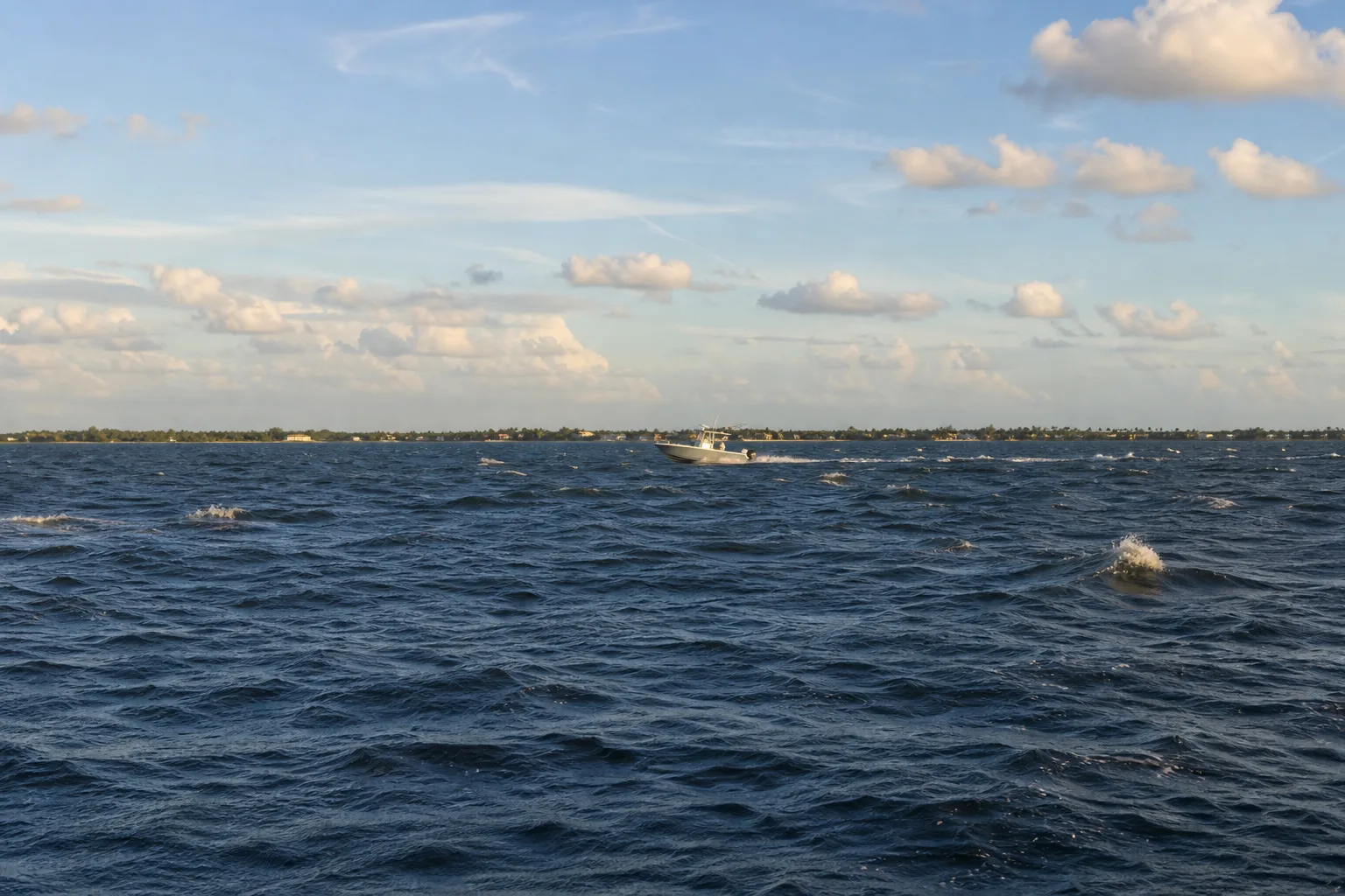
The Beaufort wind scale is a 13-step scale, from Force 0 (calm) to Force 12 (hurricane), that links wind speed to what you can see on the water. Each force is tied to a range of wind speed in knots and miles per hour and to a description of the sea, such as small wavelets, whitecaps or breaking crests. It is useful because you can read the wind from the water even without an anemometer.
What the Beaufort scale is
The scale was created in the early 1800s by Royal Navy officer Francis Beaufort so that sailors could describe wind in a consistent way by looking at the sea and the sails. Today the National Weather Service publishes a version that gives each force a name, a range in knots and mph, and a description of the sea. Forecasters, harbor masters and boaters still use it, and the words (gale, storm, hurricane) in marine forecasts follow the same ladder.
One knot is one nautical mile per hour, which is about 1.15 mph. If you want to convert a forecast, use the knots to mph converter.
The Beaufort scale table (Force 0 to 12)
| Force | Name | Knots | mph | What the sea looks like |
|---|---|---|---|---|
| 0 | Calm | 0-1 | 0-1 | Sea like a mirror. |
| 1 | Light air | 1-3 | 1-3 | Scale-like ripples, no foam crests. |
| 2 | Light breeze | 4-6 | 4-7 | Small wavelets; crests look glassy and do not break. |
| 3 | Gentle breeze | 7-10 | 8-12 | Large wavelets; crests begin to break; a few scattered white horses. |
| 4 | Moderate breeze | 11-16 | 13-18 | Small waves growing larger; fairly frequent white horses. |
| 5 | Fresh breeze | 17-21 | 19-24 | Moderate, longer waves; many white horses. |
| 6 | Strong breeze | 22-27 | 25-31 | Large waves form; more extensive white foam. |
| 7 | Near gale | 28-33 | 32-38 | Sea heaps up; foam is blown in streaks downwind. |
| 8 | Gale | 34-40 | 39-46 | Moderately high, longer waves; crest edges break into spindrift; well-marked foam streaks. |
| 9 | Severe gale | 41-47 | 47-54 | High waves; dense foam streaks; crests topple and roll; spray may reduce visibility. |
| 10 | Storm | 48-55 | 55-63 | Very high waves with long overhanging crests; the sea looks white; heavy, shock-like tumbling; reduced visibility. |
| 11 | Violent storm | 56-63 | 64-72 | Exceptionally high waves that can hide medium and small ships; sea covered in long white foam patches; reduced visibility. |
| 12 | Hurricane | 64 and above | 73 and above | Air filled with foam and spray; sea completely white; visibility very seriously affected. |
Source: National Weather Service Beaufort Wind Scale. Wave heights are not part of the NWS table, and real wave size also depends on fetch, how long the wind has blown, depth and current, so Marinalo does not list feet here. Force 12 has no upper limit: it covers every wind of 64 knots (73 mph) and above, the same threshold as hurricane force.
What each range means for small boats
The Beaufort scale describes wind, not safety. Your boat, load, crew experience and the waters you are in all matter. The ranges below are practical ways to think about the table, not official limits for any boat.
Force 0 to 3: easy conditions
From a mirror-like sea to scattered white horses, most small boats have an easy day. Light wind can still matter for paddlers and small inflatables, and it is a good time to practice docking. Watch for afternoon sea breezes building in summer.
Force 4 to 5: the first real chop
Moderate and fresh breezes bring frequent white horses and longer waves. Open bays and big lakes get uncomfortable for small open boats, kayaks, jon boats and dinghies. This is where many boaters decide to stay inside protected water or to head back before the afternoon peak. Wind against the current makes the waves steeper, so check the tide and current before you go; see ebb, flood and slack tide.
Force 6 to 7: for experienced boaters in suitable boats
Large waves, extensive white foam and foam streaking downwind are signs that small boats, kayaks, canoes, jon boats and paddle craft should be ashore. Larger, well-found boats can handle it, but crew comfort and safety suffer, and docking and anchoring become much harder.
Force 8 and above: stay in port
A gale is 34 knots or more. Breaking crests, spray that reduces visibility and heavy seas make this dangerous even for experienced skippers. If a forecast calls for these winds, plan to stay at the dock or in a protected slip. Our guide to special marine warnings and small craft advisories explains how the National Weather Service issues alerts, including wind thresholds such as gusts of 34 knots or more.
Beaufort scale vs NWS alerts
NWS marine products speak in knots and in terms such as small craft advisory, gale warning, storm warning and hurricane force wind warning. The words gale, storm and hurricane line up with the Beaufort names, which helps you picture what a forecast means. Small craft advisory wind thresholds, however, are set by each NWS forecast office for its area, so check the criteria in your local marine forecast rather than relying on a single number.
Reading the wind from the water
The table's real value is that you can use it without instruments. Stand at the ramp or dock and compare what you see with the sea descriptions:
- Look for crests. If the water is rippled but no crests are breaking, you are around Force 1 to 2. Scattered white horses mean Force 3. Frequent white horses mean Force 4 and above.
- Look for foam. Once foam is blowing in streaks downwind, you are at Force 7 or higher, which is the point where small boats should be ashore.
- Look for spray and visibility. If spray is reducing visibility, the table puts you at Force 9 or above.
- Compare with the forecast. If the water is rougher than the forecast, believe the water. Gusts, local funneling between buildings or islands, and wind against a strong current can all make conditions worse than the headline number.
Sheltered water hides the wind. A canal or a lee shore can look flat while a bay a few miles away is full of whitecaps. If your trip includes open water, a crossing or an inlet, judge the wind where you will be, not where you are standing.
How to use the scale before and during a trip
- Check the marine forecast in knots. Convert unfamiliar numbers with the knots to mph tool.
- Look at the water at the ramp or dock. Whitecaps in the middle of the bay mean Force 4 or more, so think twice with a small boat. Our directory of Florida boat ramps and Texas boat ramps helps you pick a ramp with protected water.
- Allow for gusts. A forecast of steady wind can hide stronger gusts in squalls and thunderstorms.
- Plan your return early. Winds often build through the afternoon, and a tide change can steepen waves in an inlet. See the Marinalo tide tables for local times.
- Know your boat's limits. Check your owner's manual, and look at the manufacturer's capacity plate. Wear a life jacket in rising wind.
FAQ
What is Force 5 on the Beaufort scale?
A fresh breeze: 17 to 21 knots (19 to 24 mph), with moderate, longer waves and many white horses. Small boats start to have a hard time.
What Beaufort force is a gale?
Force 8 is a gale: 34 to 40 knots (39 to 46 mph). Force 9 is a severe gale.
Who invented the Beaufort scale?
Francis Beaufort, a British naval officer, devised it in the early 1800s. It was first based on the effect of wind on sails and was later adapted to the look of the sea.
What Beaufort force is too windy for a small boat?
There is no single official number: it depends on the boat, the water and the crew. As a rule of thumb, whitecaps across open water (Force 4 and higher) are a good time to reconsider in a kayak, canoe, jon boat or dinghy, and gale force is a time for all boats to stay in.
How do I convert Beaufort to knots?
Use the table above: each force is a range of knots. For a forecast in knots, the Marinalo knots to mph converter gives you the mph equivalent.