
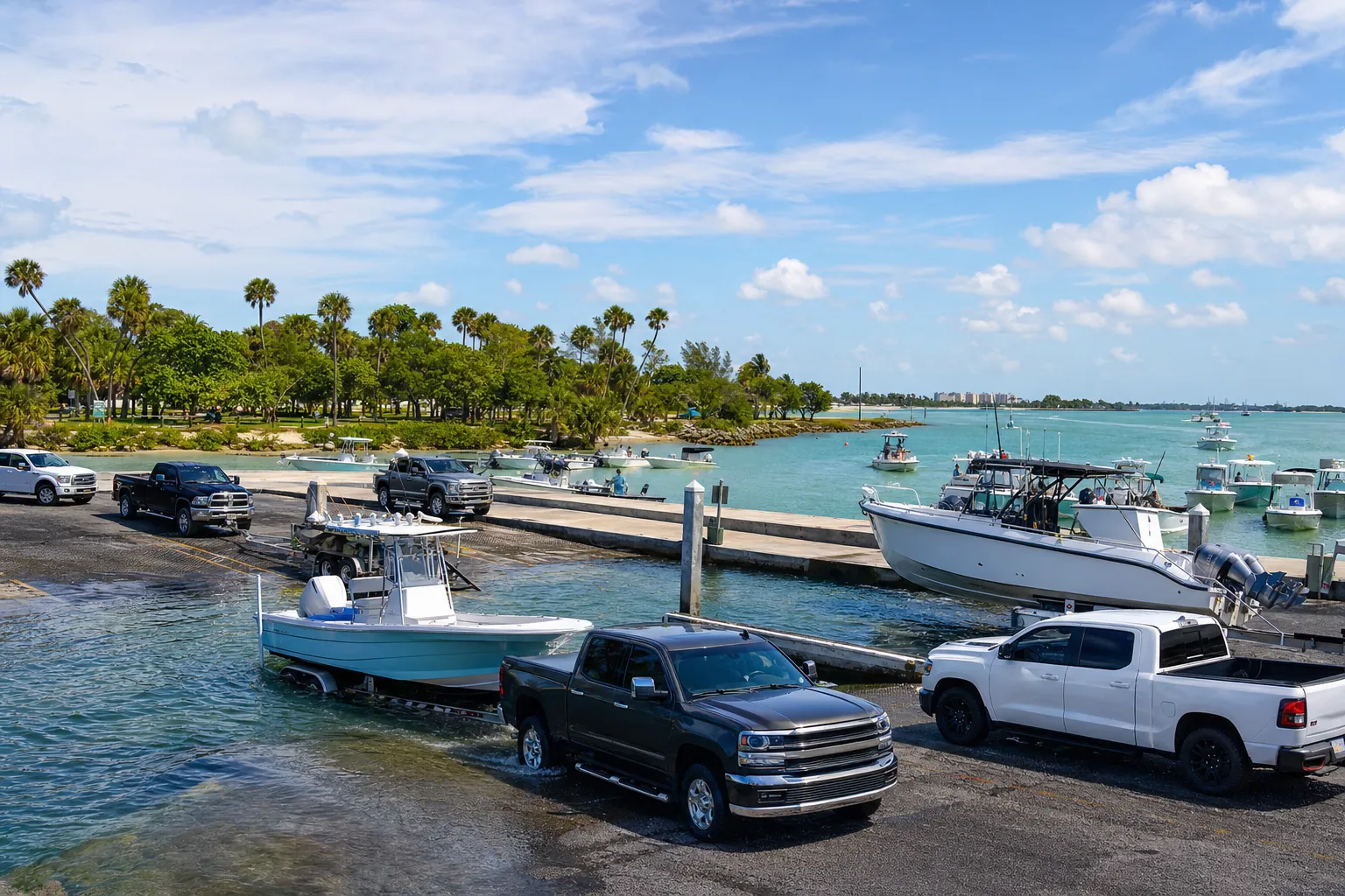
Boat ramp · Treasure Island · Pinellas County
Treasure Island 84th Avenue Public Boat Ramp
Tampa Bay - Boca Ciega Bay · Bay or lagoon · Salt or Brackish Water
Florida FWC boat ramp inventory
About Treasure Island 84th Avenue Public Boat Ramp

About this ramp
Treasure Island 84th Avenue Public Boat Ramp is a boat ramp in Treasure Island, Pinellas County on Tampa Bay - Boca Ciega Bay, a bay or lagoon with salt or brackish water. It is publicly owned and open to everyone and managed by City of Treasure Island.
Launching
The ramp has 1 lane with a concrete surface. The FWC rates its condition as needs repair.
Fees, parking and hours
Launching is free. Hours: 6:00 AM to 11:00 PM.
Facilities
Restrooms: No Toilet.
Fishing
28 artificial reefs within 10 miles of the ramp, from the FWC artificial reef program.
Little Bird Key Oyster Reef #1
5.0 mi
- Depth
- 1 ft
- Relief
- 2 ft
- GPS
- 27° 41.134' N, 82° 43.022' W
- Material
- Fossilized Locally Mined Shell Bags (350)
Little Bird Key Oyster Reef #2
5.0 mi
- Depth
- 1 ft
- Relief
- 2 ft
- GPS
- 27° 41.115' N, 82° 43.053' W
- Material
- Fossilized Locally Mined Shell Bags (125)
Little Bird Key Oyster Reef #3
5.0 mi
- Depth
- 1 ft
- Relief
- 2 ft
- GPS
- 27° 41.105' N, 82° 43.061' W
- Material
- Fossilized Locally Mined Shell Bags (125)
Tarpon Key Oyster Reef #1
6.9 mi
- Depth
- 1 ft
- Relief
- 2 ft
- GPS
- 27° 39.941' N, 82° 41.710' W
- Material
- Fossilized Locally Mined Shell Bags (980)
Show all 28 reefs
| Reef | Distance | Depth | GPS |
|---|---|---|---|
| Little Bird Key Oyster Reef #1 | 5.0 mi | 1 ft | 27° 41.134' N, 82° 43.022' W |
| Little Bird Key Oyster Reef #2 | 5.0 mi | 1 ft | 27° 41.115' N, 82° 43.053' W |
| Little Bird Key Oyster Reef #3 | 5.0 mi | 1 ft | 27° 41.105' N, 82° 43.061' W |
| Tarpon Key Oyster Reef #1 | 6.9 mi | 1 ft | 27° 39.941' N, 82° 41.710' W |
| Tarpon Key Oyster Reef #1 | 6.9 mi | 1 ft | 27° 40.065' N, 82° 41.396' W |
| Tarpon Key Oyster Reef #1 | 6.9 mi | 1 ft | 27° 40.063' N, 82° 41.396' W |
| Treasure Island Reef | 7.4 mi | 29 ft | 27° 44.50' N, 82° 52.850' W |
| Treasure Island | 7.8 mi | 29 ft | 27° 45.165' N, 82° 53.230' W |
| Treasure Island | 7.8 mi | – | 27° 45.131' N, 82° 53.235' W |
| St. Pete Beach Site | 7.9 mi | 25 ft | 27° 40.720' N, 82° 51.820' W |
| St. Pete Beach Site | 7.9 mi | 25 ft | 27° 40.730' N, 82° 51.830' W |
| St. Pete Beach Site | 8.0 mi | 25 ft | 27° 40.710' N, 82° 51.820' W |
| St. Pete Beach Site | 8.0 mi | 25 ft | 27° 40.720' N, 82° 51.830' W |
| St. Pete Beach Site | 8.0 mi | 25 ft | 27° 40.690' N, 82° 51.810' W |
| St. Pete Beach Site | 8.0 mi | 25 ft | 27° 40.710' N, 82° 51.830' W |
| St. Pete Beach Site | 8.0 mi | 25 ft | 27° 40.690' N, 82° 51.820' W |
| St. Pete Beach Site | 8.0 mi | 25 ft | 27° 40.710' N, 82° 51.840' W |
| St. Pete Beach Site | 8.0 mi | – | 27° 40.60' N, 82° 51.750' W |
| St. Pete Beach Site | 8.0 mi | 25 ft | 27° 40.610' N, 82° 51.80' W |
| FWC-1 | 8.1 mi | 27 ft | 27° 39.350' N, 82° 50.570' W |
| FWC-2 | 8.2 mi | 27 ft | 27° 39.350' N, 82° 50.640' W |
| FWC-3 | 8.2 mi | 27 ft | 27° 39.260' N, 82° 50.640' W |
| Treasure Island | 9.6 mi | – | 27° 46.586' N, 82° 54.774' W |
| Madeira Reef | 9.6 mi | – | 27° 46.317' N, 82° 54.856' W |
| Madeira Reef | 9.7 mi | – | 27° 46.30' N, 82° 54.90' W |
| Madeira Reef | 9.7 mi | – | 27° 46.352' N, 82° 54.90' W |
| Madeira Reef | 9.7 mi | – | 27° 46.235' N, 82° 54.940' W |
| Madeira Reef | 9.7 mi | – | 27° 46.432' N, 82° 54.906' W |
Source: Florida Fish and Wildlife Conservation Commission (FWC). Check fishing license and bag limit rules before you go.
Nearby
Nearest fuel docks
Other ramps nearby
Source: Florida Fish and Wildlife Conservation Commission (FWC), Florida Boat Ramp Inventory. Check local signs for current fees and hours.