
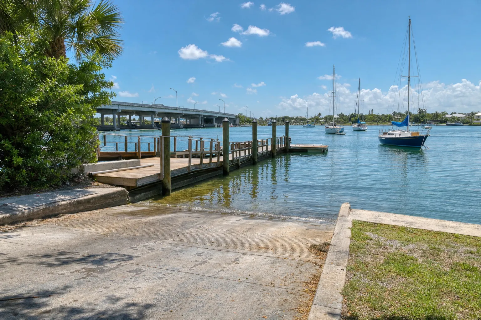
Boat ramp · New Smyrna Beach · Volusia County
Canaveral National Seashore - South Apollo Beach Primitive Boat Ramp
Mosquito Lagoon · Bay or lagoon · Salt or Brackish Water
Small lot: only 4 trailer spaces. On weekends and holidays, arrive early or keep a second ramp in mind.
Manatee protection zone on the water here
- Max 30 MPH/25 MPH Night (All Year) · Rule 68C-22.012(3)(d)7.
State zones from the FWC. Federal and local speed zones can also apply: follow the posted signs.
Florida FWC boat ramp inventory
About Canaveral National Seashore - South Apollo Beach Primitive Boat Ramp

About this ramp
Canaveral National Seashore - South Apollo Beach Primitive Boat Ramp is a boat ramp in New Smyrna Beach, Volusia County on Mosquito Lagoon, a bay or lagoon with salt or brackish water. It is publicly owned and open to everyone and managed by United States National Park Service.
Launching
The ramp has 1 lane with a gravel and sand surface. The FWC rates its condition as needs repair. There is no dock.
Fees, parking and hours
The launch fee is $20 per vehicle. Payment: attendant or annual pass. Parking: 4 trailer spaces and 35 car spaces, not paved - gravel/limestone/packed soil. Hours: 6:00 AM to 8:00 PM, Daily. Small lot: only 4 trailer spaces. On weekends and holidays, arrive early or keep a second ramp in mind.
Facilities
Restrooms: Composting Toilet. Accessibility: No Accommodations for Accessibility.
Fishing
5 artificial reefs within 10 miles of the ramp, from the FWC artificial reef program.
Site #8_1996
5.9 mi
- Depth
- 65 ft
- Relief
- 6 ft
- GPS
- 28° 55.270' N, 80° 42.670' W
- Material
- Culverts (1109)
Site #8_1989
6.0 mi
- Depth
- 62 ft
- Relief
- 5 ft
- GPS
- 28° 55.308' N, 80° 42.628' W
- Material
- Culverts
Site 8 (SE)
6.0 mi
- Depth
- 65 ft
- Relief
- 10 ft
- GPS
- 28° 55.080' N, 80° 42.320' W
- Material
- Secondary-use Concrete (Culverts) (50)
Site 8 (NE-2)
6.3 mi
- Depth
- 65 ft
- Relief
- 10 ft
- GPS
- 28° 55.478' N, 80° 42.329' W
- Material
- Secondary-use Concrete (Culverts) (82)
Show all 5 reefs
| Reef | Distance | Depth | GPS |
|---|---|---|---|
| Site #8_1996 | 5.9 mi | 65 ft | 28° 55.270' N, 80° 42.670' W |
| Site #8_1989 | 6.0 mi | 62 ft | 28° 55.308' N, 80° 42.628' W |
| Site 8 (SE) | 6.0 mi | 65 ft | 28° 55.080' N, 80° 42.320' W |
| Site 8 (NE-2) | 6.3 mi | 65 ft | 28° 55.478' N, 80° 42.329' W |
| Site 8 (NE-1) | 6.4 mi | 65 ft | 28° 55.513' N, 80° 42.342' W |
Source: Florida Fish and Wildlife Conservation Commission (FWC). Check fishing license and bag limit rules before you go.
Nearby
Nearest fuel docks
Source: Florida Fish and Wildlife Conservation Commission (FWC), Florida Boat Ramp Inventory. Check local signs for current fees and hours.