
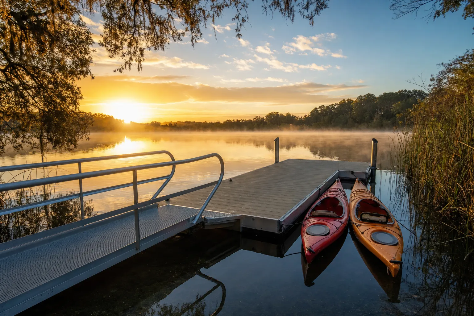
Paddle launch · New Smyrna Beach · Volusia County
Canaveral National Seashore - Eldora Parking Lot #7 Kayak Access
Moquito Lagoon · Bay or lagoon · Salt or Brackish Water
Manatee protection zone on the water here
- Max 30 MPH/25 MPH Night (All Year) · Rule 68C-22.012(3)(d)7.
State zones from the FWC. Federal and local speed zones can also apply: follow the posted signs.
Florida FWC boat ramp inventory
About Canaveral National Seashore - Eldora Parking Lot #7 Kayak Access

About this ramp
Canaveral National Seashore - Eldora Parking Lot #7 Kayak Access is a hand launch site for kayaks, canoes and paddleboards in New Smyrna Beach, Volusia County on Moquito Lagoon, a bay or lagoon with salt or brackish water. It is publicly owned and open to everyone and managed by United States National Park Service.
Fees, parking and hours
The launch fee is $20 per vehicle. Payment: attendant or annual pass. Hours: 6:00 AM to 8:00 PM, Daily.
Fishing
17 artificial reefs within 10 miles of the ramp, from the FWC artificial reef program.
Site #8_1996
6.5 mi
- Depth
- 65 ft
- Relief
- 6 ft
- GPS
- 28° 55.270' N, 80° 42.670' W
- Material
- Culverts (1109)
Site #8_1989
6.6 mi
- Depth
- 62 ft
- Relief
- 5 ft
- GPS
- 28° 55.308' N, 80° 42.628' W
- Material
- Culverts
Site 8 (SE)
6.8 mi
- Depth
- 65 ft
- Relief
- 10 ft
- GPS
- 28° 55.080' N, 80° 42.320' W
- Material
- Secondary-use Concrete (Culverts) (50)
Site 8 (NE-1)
6.9 mi
- Depth
- 65 ft
- Relief
- 10 ft
- GPS
- 28° 55.513' N, 80° 42.342' W
- Material
- Secondary-use Concrete (Culverts) (83)
Show all 17 reefs
| Reef | Distance | Depth | GPS |
|---|---|---|---|
| Site #8_1996 | 6.5 mi | 65 ft | 28° 55.270' N, 80° 42.670' W |
| Site #8_1989 | 6.6 mi | 62 ft | 28° 55.308' N, 80° 42.628' W |
| Site 8 (SE) | 6.8 mi | 65 ft | 28° 55.080' N, 80° 42.320' W |
| Site 8 (NE-1) | 6.9 mi | 65 ft | 28° 55.513' N, 80° 42.342' W |
| Site 8 (NE-2) | 6.9 mi | 65 ft | 28° 55.478' N, 80° 42.329' W |
| Flagler S | 9.7 mi | 40 ft | 29° 02.479' N, 80° 52.874' W |
| Flagler SW 2015 | 9.7 mi | 37 ft | 29° 02.457' N, 80° 52.960' W |
| Flagler SE 2015 | 9.7 mi | 38 ft | 29° 02.517' N, 80° 52.813' W |
| Flagler ESE 2015 | 9.7 mi | 40 ft | 29° 02.583' N, 80° 52.779' W |
| Flagler SE Inside 2015 | 9.7 mi | 38 ft | 29° 02.566' N, 80° 52.832' W |
| Flagler SSW | 9.7 mi | 38 ft | 29° 02.515' N, 80° 53.004' W |
| Flagler Center | 9.8 mi | 40 ft | 29° 02.553' N, 80° 52.927' W |
| Flagler ENE 2015 | 9.8 mi | 40 ft | 29° 02.645' N, 80° 52.820' W |
| Flagler NE Inside 2015 | 9.8 mi | 40 ft | 29° 02.609' N, 80° 52.930' W |
| Flagler NNW | 9.8 mi | 38 ft | 29° 02.585' N, 80° 53.012' W |
| Flagler NW 2015 | 9.9 mi | 37 ft | 29° 02.649' N, 80° 53.066' W |
| Flagler NNE 2015 | 9.9 mi | 39 ft | 29° 02.687' N, 80° 52.984' W |
Source: Florida Fish and Wildlife Conservation Commission (FWC). Check fishing license and bag limit rules before you go.
Nearby
Source: Florida Fish and Wildlife Conservation Commission (FWC), Florida Boat Ramp Inventory. Check local signs for current fees and hours.