
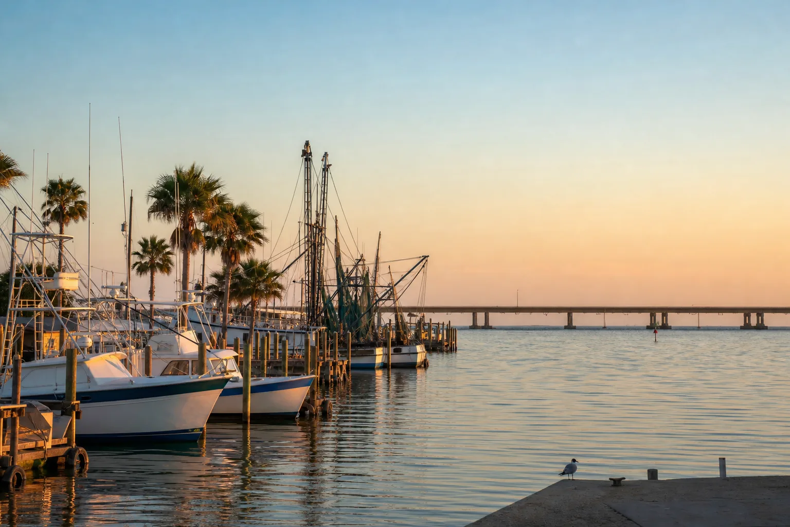
UT Marina is a marina in Texas, operated by University of Texas Marine Science Institute.
Slip rates
Rates on request
UT Marina does not publish its slip rates online. Ask the marina directly:
At the marina
- Shore powerOpenStreetMap
Only services we could confirm are listed, each with its source.
Guide to UT Marina
About UT Marina
UT Marina is operated by the University of Texas Marine Science Institute.
Arriving by boat
The marina is at 27.8382, -97.053. Nearby marinas include Port Aransas Marina, 0.7 miles away, Island Moorings Yacht Club & Marina, 3.0 miles away, and Chandler's Landing Marina, 6.7 miles away.
Slip rates
What the rate includes
Shore power is a confirmed service at the marina.
Fuel and services
Shore power is confirmed here. For fuel, nearby marinas include Port Aransas Marina, Island Moorings Yacht Club & Marina, and Chandler's Landing Marina.
Around the marina
Robert's Point Park Boat Ramp is 0.9 miles away.
Practical information
The nearest tide station is Port Aransas (H. Caldwell Pier), 0.8 miles away.
The NOAA record shows 5 hurricanes within 50 miles since 1950, including 3 major Category 3 or higher storms. The latest are Nicholas in 2021, Harvey in 2017, and Fern in 1971. Nicholas reached Category 1 nearby, Harvey reached Category 4 nearby, and Fern reached Category 1 nearby.
The NWS marine forecast zone for this area is Copano, Aransas, and Redfish Bays.
Written from the facts on this page: official rate sheets, NOAA, OpenStreetMap and TPWD. Check with the marina before you go.
Practical
- Operator
- University of Texas Marine Science Institute
- GPS
- 27°50.29′ N, 97°03.18′ W
Hurricane history
- 2021NicholasCategory 1
- 2017HarveyCategory 4
- 1971FernCategory 1
- 1970CeliaCategory 4
- 1961CarlaCategory 4
Atlantic hurricane season: June 1 to November 30. Category: the strongest reached within 50 miles of the marina, not necessarily at landfall. Source: NOAA National Hurricane Center (HURDAT2). Ask the marina about its hurricane plan before signing.