
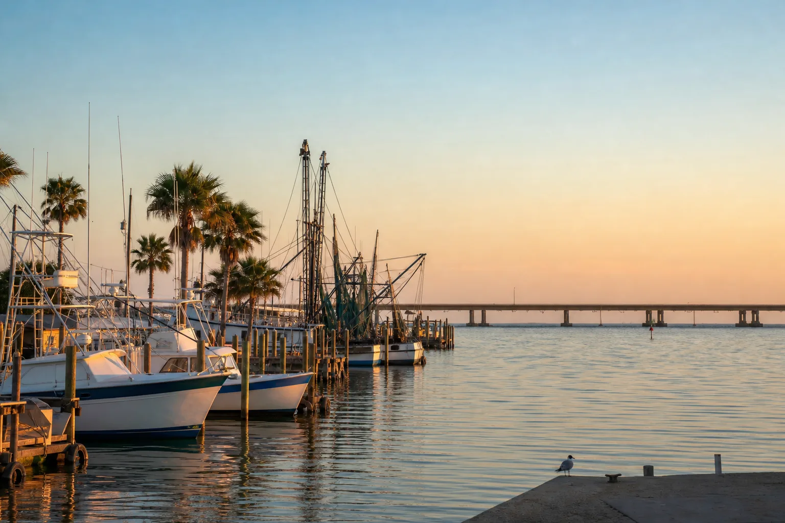
Port Mansfield Marina is a marina in Port Mansfield, Texas.
Slip rates
Rates on request
Port Mansfield Marina does not publish its slip rates online. Ask the marina directly:
Guide to Port Mansfield Marina
About Port Mansfield Marina
Port Mansfield Marina is in Port Mansfield, Texas, at 600 Mansfield Dr. Its GPS coordinates are 26.5567, -97.4294.
Arriving by boat
The marina is near the Lower Laguna Madre Boat Ramp, which is 0.0 miles away. Two more Lower Laguna Madre Boat Ramp locations are 0.3 miles and 0.9 miles away.
Around the marina
Nearby marinas include Jim's Pier, 35.1 miles away; Pirate's Landing Fishing Pier, 35.7 miles away; and Pelican Point Marina, 35.7 miles away.
Practical information
The NOAA tide station is Padre Island, Port Mansfield Channel Ent., 9.5 miles away.
Since 1950, 5 hurricanes have passed within 50 miles of Port Mansfield Marina. Three reached major hurricane strength, defined here as Category 3 or higher. The latest were Hanna in 2020, with the strongest category nearby at 1, Dolly in 2008 at 2, and Bret in 1999 at 4.
Written from the facts on this page: official rate sheets, NOAA, OpenStreetMap and TPWD. Check with the marina before you go.
Practical
- Address
- 600 Mansfield Dr
- Phone
- +1 9569442331
- Website
- portmansfieldchamberofcommerce.com/joom…
- GPS
- 26°33.40′ N, 97°25.77′ W
Hurricane history
- 2020HannaCategory 1
- 2008DollyCategory 2
- 1999BretCategory 4
- 1980AllenCategory 3
- 1967BeulahCategory 4
Atlantic hurricane season: June 1 to November 30. Category: the strongest reached within 50 miles of the marina, not necessarily at landfall. Source: NOAA National Hurricane Center (HURDAT2). Ask the marina about its hurricane plan before signing.
Frequently asked questions
How do I contact Port Mansfield Marina?
By phone at +1 9569442331.