
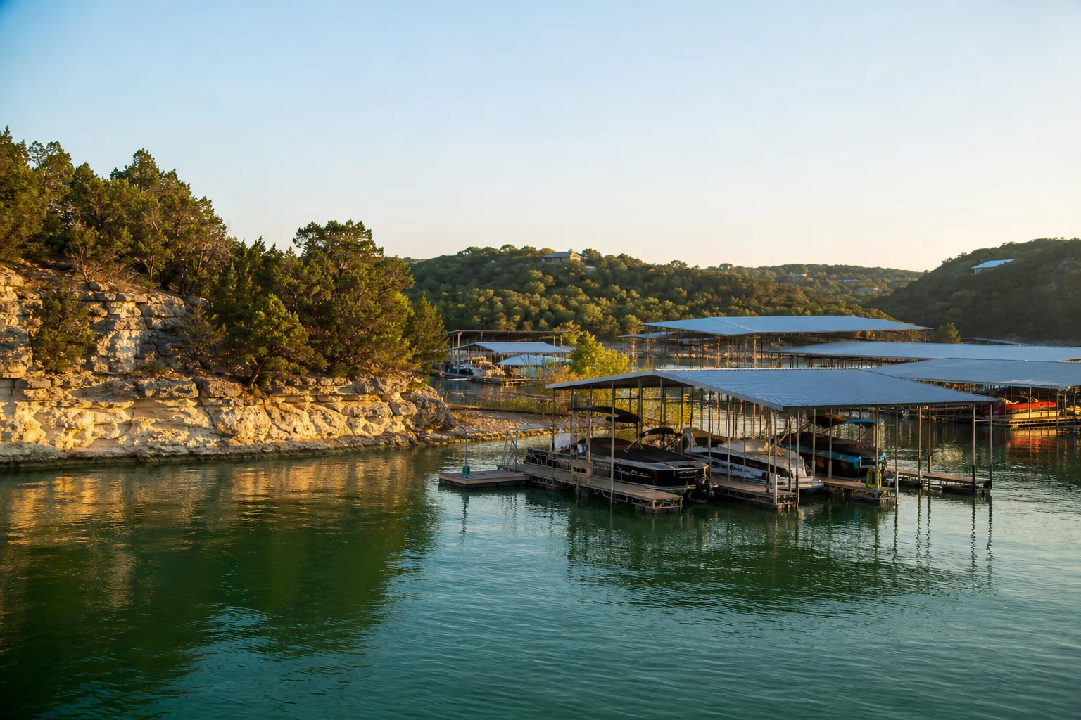
J dock is a marina in Garland, Texas.
Slip rates
Rates on request
J dock does not publish its slip rates online. Ask the marina directly:
Guide to J dock
About J dock
J dock is in Garland, Texas, at 5965 Marina Dr on Lake Ray Hubbard. Its GPS coordinates are 32.8575, -96.5465.
Arriving by boat
Captain's Cove Marina is 0.1 miles away. Lake Pointe Marina is 1.7 miles away. Sapphire Bay Marina is 2.2 miles away.
Around the marina
John Paul Jones Park Boat Ramp is 0.7 miles away. Lake Ray Hubbard Boat Ramp is 1.8 miles away, and another Lake Ray Hubbard Boat Ramp is 2.2 miles away. Waterview Marinas is 12.6 miles away.
Practical information
The marina address is 5965 Marina Dr in Garland, Texas. Its GPS position is 32.8575, -96.5465, which can help with navigation when you are heading in by car or by boat.
Lake Ray Hubbard is the reservoir at the marina. Nearby boating points include Captain's Cove Marina, Lake Pointe Marina, and Sapphire Bay Marina, all within 2.2 miles.
If you are coming by trailer, the closest ramp in the list is John Paul Jones Park Boat Ramp at 0.7 miles. Lake Ray Hubbard Boat Ramp is also close, with one location at 1.8 miles and another at 2.2 miles. For fuel, Waterview Marinas is the other fuel dock shown, at 12.6 miles.
Because only the marina name, location, GPS coordinates, nearby marinas, boat ramps, and one other fuel dock are provided here, those are the details to use for planning a visit to J dock.
Written from the facts on this page: official rate sheets, NOAA, OpenStreetMap and TPWD. Check with the marina before you go.
Fuel
Nearest fuel docks
Practical
- Address
- 5965 Marina Dr
- GPS
- 32°51.45′ N, 96°32.79′ W
Hurricane history
Atlantic hurricane season: June 1 to November 30. Category: the strongest reached within 50 miles of the marina, not necessarily at landfall. Source: NOAA National Hurricane Center (HURDAT2). Ask the marina about its hurricane plan before signing.