
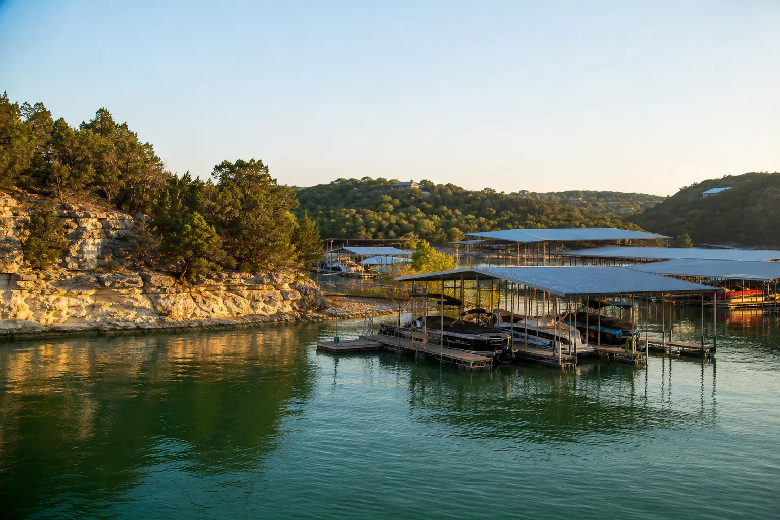
Austin Yacht Club is a marina in Texas.
Slip rates
Rates on request
Austin Yacht Club does not publish its slip rates online. Ask the marina directly:
Guide to Austin Yacht Club
About Austin Yacht Club
Austin Yacht Club is on Lake Travis in Texas. Its GPS position is 30.4222, -97.9204.
Arriving by boat
Nearby boat ramps within 3 miles include Ramp a the point at 0.1 miles, Mansfield Dam Park Boat Ramp at 2.1 miles, and Arkansas Bend Park Boat Ramp at 2.1 miles.
Slip rates
Austin Yacht Club does not publish its slip rates online.
Fuel and services
Safe Harbor Emerald Point is 1.5 miles away and has a fuel dock.
Around the marina
Other marinas nearby include Keller Marina at 0.2 miles, Lake Travis Lodges Marina at 0.5 miles, and Hudson Bend Boat & Campers Storage at 1.0 mile.
Practical information
NOAA records show 1 hurricane within 50 miles since 1950. The latest was Carla in 1961, and the strongest category near the marina was 1.
Written from the facts on this page: official rate sheets, NOAA, OpenStreetMap and TPWD. Check with the marina before you go.
Fuel
Nearest fuel docks
Practical
- GPS
- 30°25.33′ N, 97°55.22′ W
Hurricane history
- 1961CarlaCategory 1
Atlantic hurricane season: June 1 to November 30. Category: the strongest reached within 50 miles of the marina, not necessarily at landfall. Source: NOAA National Hurricane Center (HURDAT2). Ask the marina about its hurricane plan before signing.