
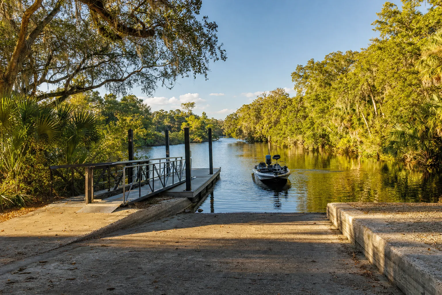
Boat ramp · Fellsmere · Indian River County
St. Sebastian River Preserve State Park Canoe Landing (No Launching)
Sebastian River (South Prong) · River · Salt or Brackish Water
Restricted access (No Launching): this ramp is not open to the general public. Check with the operator before you go.
Manatee protection zone on the water here
- Slow Speed (All Year) · Rule 68C-22.007(1)(b)1.
State zones from the FWC. Federal and local speed zones can also apply: follow the posted signs.
Florida FWC boat ramp inventory
About St. Sebastian River Preserve State Park Canoe Landing (No Launching)

About this ramp
St. Sebastian River Preserve State Park Canoe Landing (No Launching) is a boat ramp in Fellsmere, Indian River County on Sebastian River (South Prong), a river with salt or brackish water. It is publicly owned with restricted access and managed by Florida Department of Environmental Protection.
Launching
The ramp has 1 lane.
Fees, parking and hours
A launch fee is charged; the amount is not stated. Hours: 8:00 AM until Sunset, 365 days a year.
Fishing
4 artificial reefs within 10 miles of the ramp, from the FWC artificial reef program.
Strike Zone Reef
9.3 mi
- Depth
- 55 ft
- Relief
- 8 ft
- GPS
- 27° 50.235' N, 80° 21.683' W
- Material
- Reefmaker Florida Limestone (14)
Alan's Reef
9.3 mi
- Depth
- 55 ft
- Relief
- 8 ft
- GPS
- 27° 50.127' N, 80° 21.639' W
- Material
- LegaSea 8 ft Reef Module (10)
JK Patch Reef North
9.7 mi
- Depth
- 55 ft
- Relief
- 8 ft
- GPS
- 27° 50.053' N, 80° 21.286' W
- Material
- prefabricated modules (10)
JK Patch Reef South
9.7 mi
- Depth
- 55 ft
- Relief
- 10 ft
- GPS
- 27° 49.962' N, 80° 21.207' W
- Material
- secondary-use concrete
Source: Florida Fish and Wildlife Conservation Commission (FWC). Check fishing license and bag limit rules before you go.
Nearby
Nearest fuel docks
Other ramps nearby
Source: Florida Fish and Wildlife Conservation Commission (FWC), Florida Boat Ramp Inventory. Check local signs for current fees and hours.