
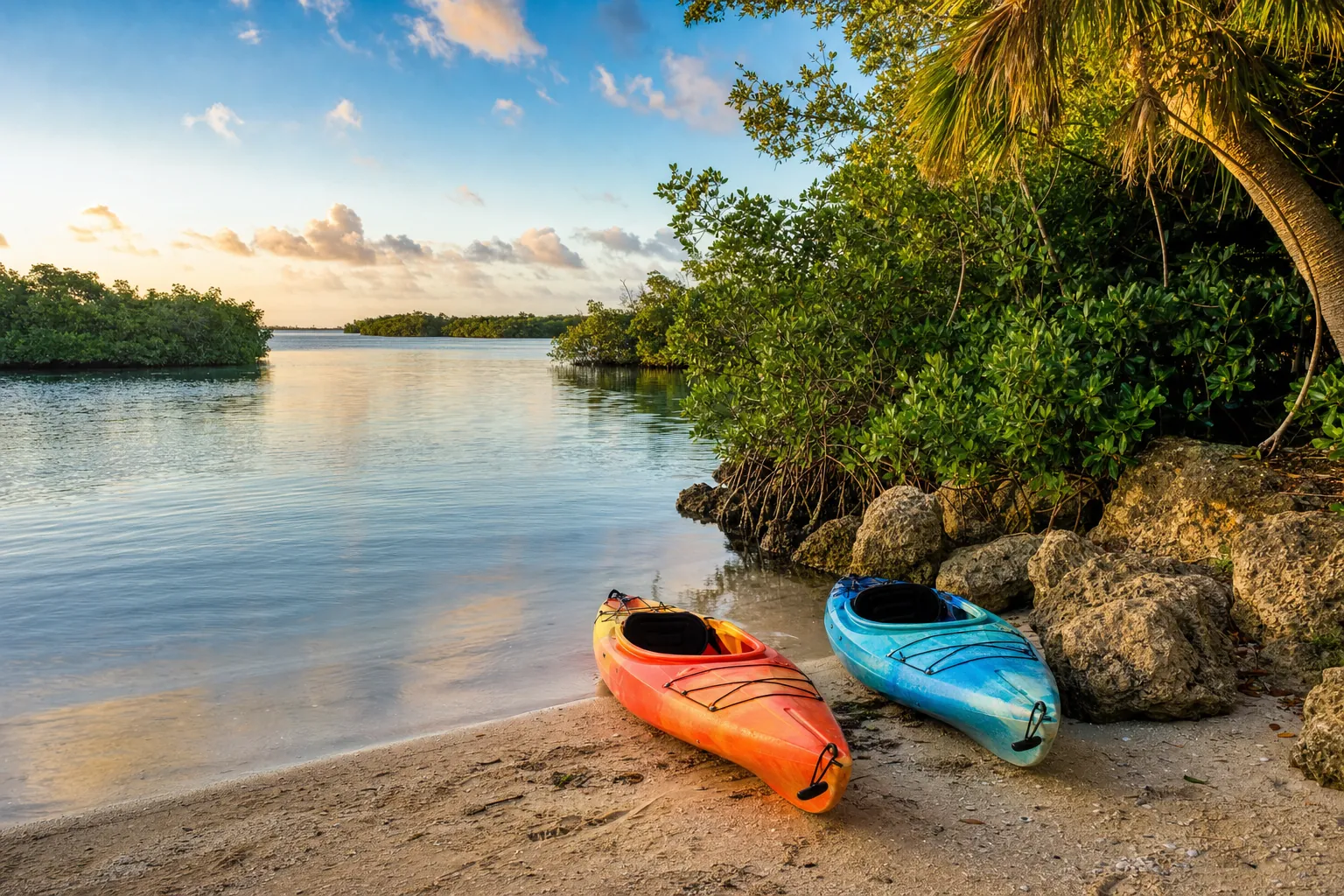
Paddle launch · Fort Myers · Lee County
Shady Oaks Park (Ft. Myers) Kayak Launch
Caloosahatchee River - Billys Creek · River · Salt or Brackish Water
Manatee protection zone on the water here
- Slow Speed (All Year) Excluding the marked ICW channel · Rule 68C-22.005(2)(d)6.e.
State zones from the FWC. Federal and local speed zones can also apply: follow the posted signs.
Florida FWC boat ramp inventory
About Shady Oaks Park (Ft. Myers) Kayak Launch

About this ramp
Shady Oaks Park (Ft. Myers) Kayak Launch is a hand launch site for kayaks, canoes and paddleboards in Fort Myers, Lee County on Caloosahatchee River - Billys Creek, a river with salt or brackish water. It is publicly owned and open to everyone and managed by City of Ft. Myers.
Launching
The ramp has a launch with a gravel and sand surface. The FWC rates its condition as good. There is no dock.
Fees, parking and hours
Launching is free. Parking: 5 car spaces, paved - asphalt or concrete. Hours: Daytime Use Only.
Facilities
Restrooms: Flush Toilet. Accessibility: No Accommodations for Accessibility.
Notes from the FWC
Located south of the ball fields. Look for unpaved turn-off to the right. Restrooms back at ball field complex.
Fishing
2 artificial reefs within 10 miles of the ramp, from the FWC artificial reef program.
On Shoreline
2.0 mi
- GPS
- 26° 38.50' N, 81° 52.50' W
- Material
- Rubble
Ft. Myers Wharf
2.0 mi
- GPS
- 26° 38.429' N, 81° 52.482' W
- Material
- Rubble
Source: Florida Fish and Wildlife Conservation Commission (FWC). Check fishing license and bag limit rules before you go.
Nearby
Marinas
Nearest fuel docks
Source: Florida Fish and Wildlife Conservation Commission (FWC), Florida Boat Ramp Inventory. Check local signs for current fees and hours.