
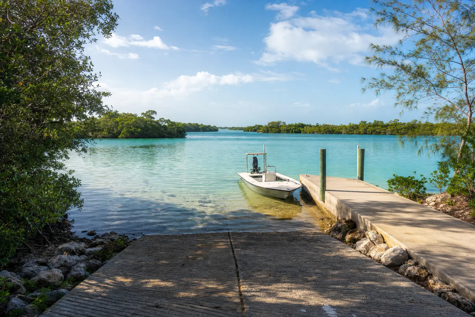
Boat ramp · Port Saint Joe · Gulf County
Highland View Public Boat Ramp
St. Joseph Bay · Bay or lagoon · Salt or Brackish Water
Florida FWC boat ramp inventory
About Highland View Public Boat Ramp

About this ramp
Highland View Public Boat Ramp is a boat ramp in Port Saint Joe, Gulf County on St. Joseph Bay, a bay or lagoon with salt or brackish water. It is publicly owned and open to everyone and managed by Gulf County. Partner: Florida Fish and Wildlife Conservation Commission.
Launching
The ramp has 1 lane with a concrete surface. The FWC rates its condition as good to excellent. There is a fixed dock.
Fees, parking and hours
Launching is free. Parking: 20 trailer spaces and 15 car spaces, not paved - gravel/limestone/packed soil. Hours: 24 Hours.
Facilities
Restrooms: Flush Toilet. Accessibility: Moderate Level of Accessibility.
Fishing
14 artificial reefs within 10 miles of the ramp, from the FWC artificial reef program.
Inshore Mexico Bch - Grouper
7.5 mi
- Depth
- 25 ft
- Relief
- 4 ft
- GPS
- 29° 54.394' N, 85° 24.243' W
- Material
- Reef Ball (5)
Inshore Mexico Beach - Cobia
7.5 mi
- Depth
- 25 ft
- Relief
- 4 ft
- GPS
- 29° 54.387' N, 85° 24.317' W
- Material
- Reef Ball (5)
Inshore Mexico Beach - Amberjack
7.5 mi
- Depth
- 25 ft
- Relief
- 4 ft
- GPS
- 29° 54.418' N, 85° 24.293' W
- Material
- Reef Ball (5)
Inshore Site #1
7.9 mi
- Depth
- 25 ft
- Relief
- 5 ft
- GPS
- 29° 54.869' N, 85° 24.309' W
- Material
- Artificial Reef Inc Fish Haven (8)
Show all 14 reefs
| Reef | Distance | Depth | GPS |
|---|---|---|---|
| Inshore Mexico Bch - Grouper | 7.5 mi | 25 ft | 29° 54.394' N, 85° 24.243' W |
| Inshore Mexico Beach - Cobia | 7.5 mi | 25 ft | 29° 54.387' N, 85° 24.317' W |
| Inshore Mexico Beach - Amberjack | 7.5 mi | 25 ft | 29° 54.418' N, 85° 24.293' W |
| Inshore Site #1 | 7.9 mi | 25 ft | 29° 54.869' N, 85° 24.309' W |
| Inshore Site #1 | 8.0 mi | 25 ft | 29° 54.953' N, 85° 24.373' W |
| Inshore Site #1 | 8.1 mi | 25 ft | 29° 55.036' N, 85° 24.437' W |
| Inshore Site #1 | 8.2 mi | 25 ft | 29° 55.121' N, 85° 24.503' W |
| Barrier Dunes Barge | 8.8 mi | 35 ft | 29° 45.058' N, 85° 25.544' W |
| MB 240 | 9.6 mi | 19 ft | 29° 54.266' N, 85° 27.029' W |
| Billy Gillen Memorial Reef | 9.8 mi | 20 ft | 29° 54.137' N, 85° 27.333' W |
| Billy Gillen Memorial Reef | 9.8 mi | 21 ft | 29° 54.137' N, 85° 27.333' W |
| Billy Gillen Memorial Reef | 9.8 mi | 21 ft | 29° 54.137' N, 85° 27.333' W |
| MB 208 | 9.9 mi | 20 ft | 29° 54.461' N, 85° 27.183' W |
| MB 208 | 9.9 mi | 20 ft | 29° 54.468' N, 85° 27.178' W |
Source: Florida Fish and Wildlife Conservation Commission (FWC). Check fishing license and bag limit rules before you go.
Nearby
Other ramps nearby
Source: Florida Fish and Wildlife Conservation Commission (FWC), Florida Boat Ramp Inventory. Check local signs for current fees and hours.