
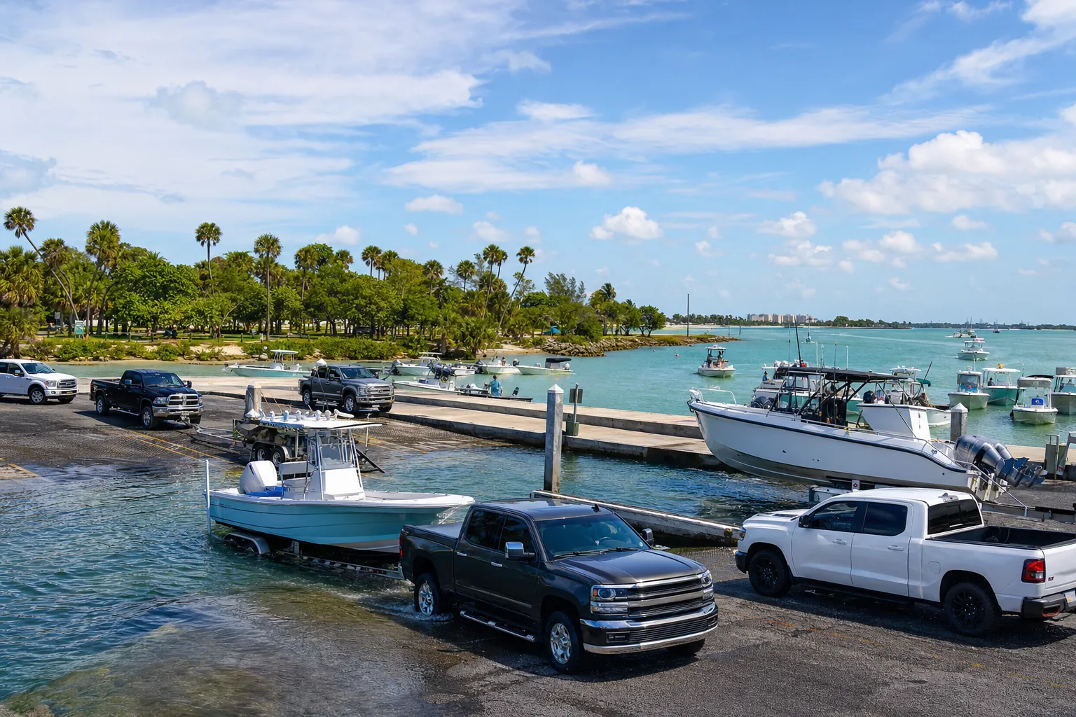
Boat ramp · Carrabelle · Franklin County
Carrabelle 4th Street Boat Ramp
Carrabelle River · Bay or lagoon · Salt or Brackish Water
Small lot: only 4 trailer spaces. On weekends and holidays, arrive early or keep a second ramp in mind.
Florida FWC boat ramp inventory
About Carrabelle 4th Street Boat Ramp

About this ramp
Carrabelle 4th Street Boat Ramp is a boat ramp in Carrabelle, Franklin County on Carrabelle River, a bay or lagoon with salt or brackish water. It is publicly owned and open to everyone and managed by City of Carrabelle.
Launching
The ramp has 1 lane with a concrete surface. The FWC rates its condition as needs repair.
Fees, parking and hours
The launch fee is $10 per launch. Pay at the parking meter. Parking: 4 trailer spaces, not paved - gravel/limestone/packed soil. Small lot: only 4 trailer spaces. On weekends and holidays, arrive early or keep a second ramp in mind.
Facilities
Restrooms: No Toilet. Accessibility: No Accommodations for Accessibility.
Fishing
11 artificial reefs within 10 miles of the ramp, from the FWC artificial reef program.
Carrabelle 3 Mile Reef (6)
8.9 mi
- Depth
- 39 ft
- Relief
- 7 ft
- GPS
- 29° 45.040' N, 84° 34.671' W
- Material
- Culverts (19)
Carrabelle 3 Mile Reef (1)
8.9 mi
- Depth
- 39 ft
- Relief
- 7 ft
- GPS
- 29° 45.085' N, 84° 34.547' W
- Material
- Culverts (30)
Carrabelle 3 Mile Reef (1)
8.9 mi
- Depth
- 39 ft
- Relief
- 10 ft
- GPS
- 29° 45.079' N, 84° 34.509' W
- Material
- Culverts
Carrabelle 3 Mile Reef (2)
8.9 mi
- Depth
- 39 ft
- Relief
- 7 ft
- GPS
- 29° 45.063' N, 84° 34.517' W
- Material
- Culverts (30)
Show all 11 reefs
| Reef | Distance | Depth | GPS |
|---|---|---|---|
| Carrabelle 3 Mile Reef (6) | 8.9 mi | 39 ft | 29° 45.040' N, 84° 34.671' W |
| Carrabelle 3 Mile Reef (1) | 8.9 mi | 39 ft | 29° 45.085' N, 84° 34.547' W |
| Carrabelle 3 Mile Reef (1) | 8.9 mi | 39 ft | 29° 45.079' N, 84° 34.509' W |
| Carrabelle 3 Mile Reef (2) | 8.9 mi | 39 ft | 29° 45.063' N, 84° 34.517' W |
| Carrabelle 3 Mile | 8.9 mi | 39 ft | 29° 45.068' N, 84° 34.494' W |
| Carrabelle 3 Mile | 9.0 mi | 39 ft | 29° 45.061' N, 84° 34.483' W |
| Carrabelle 3 Mile Reef (3) | 9.0 mi | 39 ft | 29° 45.049' N, 84° 34.494' W |
| Carrabelle 3 Mile Reef (4) | 9.0 mi | 39 ft | 29° 45.046' N, 84° 34.494' W |
| Carrabelle 3 Mile | 9.0 mi | 39 ft | 29° 45.046' N, 84° 34.463' W |
| Carrabelle 3 Mile Reef (5) | 9.0 mi | 39 ft | 29° 45.024' N, 84° 34.464' W |
| Florida Gas Transmission Reef (B) | 10.0 mi | 21 ft | 29° 49.868' N, 84° 30.249' W |
Source: Florida Fish and Wildlife Conservation Commission (FWC). Check fishing license and bag limit rules before you go.
Nearby
Marinas
Nearest fuel docks
Other ramps nearby
Source: Florida Fish and Wildlife Conservation Commission (FWC), Florida Boat Ramp Inventory. Check local signs for current fees and hours.