
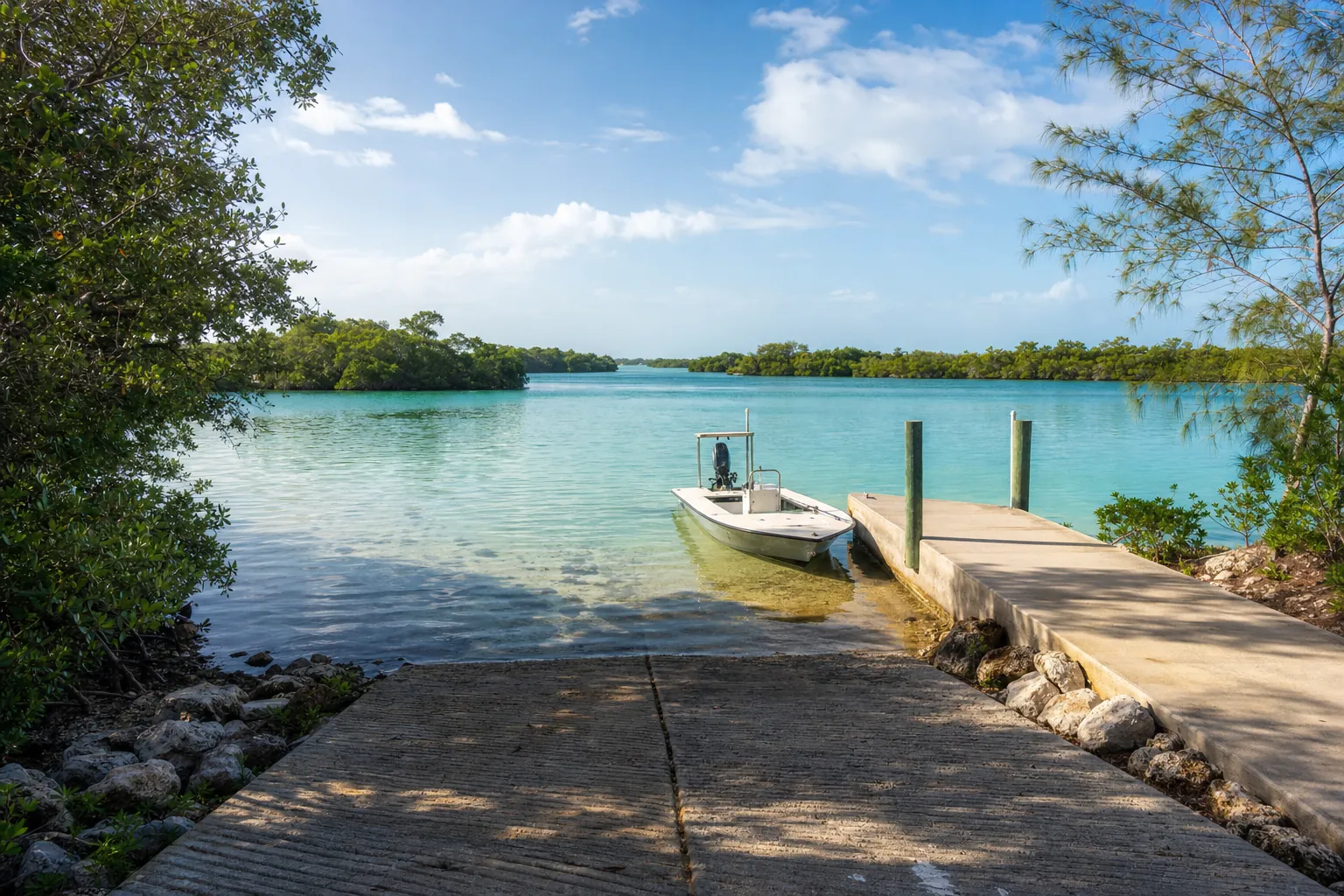
Boat ramp · Bonita Springs · Lee County
Bonita Beach - Melody Lane Right of Way (Not Recommended - No Parking)
Estero Bay · Bay or lagoon · Salt or Brackish Water
Manatee protection zone on the water here
- Slow Speed (Apr 1 - Nov 15) 25 MPH (Nov 16 - Mar 31) Ex portions of the marked channel as described · Rule 68C-22.005(2)(f)3.
State zones from the FWC. Federal and local speed zones can also apply: follow the posted signs.
Florida FWC boat ramp inventory
About Bonita Beach - Melody Lane Right of Way (Not Recommended - No Parking)

About this ramp
Bonita Beach - Melody Lane Right of Way (Not Recommended - No Parking) is a boat ramp in Bonita Springs, Lee County on Estero Bay, a bay or lagoon with salt or brackish water. It is publicly owned and open to everyone.
Launching
The ramp has 1 lane with a concrete surface. The FWC rates its condition as not recommended for use. There is no dock.
Fees, parking and hours
Launching is free. Hours: 24 Hours.
Facilities
Restrooms: No Toilet. Accessibility: No Accommodations for Accessibility.
Fishing
34 artificial reefs within 10 miles of the ramp, from the FWC artificial reef program.
Rock Reef 3
3.4 mi
- Depth
- 24 ft
- Relief
- 10 ft
- GPS
- 26° 18.452' N, 81° 52.377' W
- Material
- Limestone Boulders (65)
Rock Reef 1
3.5 mi
- Depth
- 24 ft
- Relief
- 10 ft
- GPS
- 26° 18.412' N, 81° 52.456' W
- Material
- Limestone Boulders (130)
ECA Reef
3.5 mi
- Depth
- 24 ft
- Relief
- 10 ft
- GPS
- 26° 18.369' N, 81° 52.354' W
- Material
- Rubble (200)
Rock Reef 4
3.5 mi
- Depth
- 24 ft
- Relief
- 10 ft
- GPS
- 26° 18.326' N, 81° 52.286' W
- Material
- Limestone Boulders (65)
Show all 34 reefs
| Reef | Distance | Depth | GPS |
|---|---|---|---|
| Rock Reef 3 | 3.4 mi | 24 ft | 26° 18.452' N, 81° 52.377' W |
| Rock Reef 1 | 3.5 mi | 24 ft | 26° 18.412' N, 81° 52.456' W |
| ECA Reef | 3.5 mi | 24 ft | 26° 18.369' N, 81° 52.354' W |
| Rock Reef 4 | 3.5 mi | 24 ft | 26° 18.326' N, 81° 52.286' W |
| Wiggins Pass 3 Mile C & D | 3.5 mi | 27 ft | 26° 18.324' N, 81° 52.426' W |
| Rock Reef 2 | 3.6 mi | 24 ft | 26° 18.286' N, 81° 52.376' W |
| May Reef | 4.2 mi | 22 ft | 26° 22.377' N, 81° 55.112' W |
| May Reef | 4.2 mi | 22 ft | 26° 22.379' N, 81° 55.112' W |
| M.A.Y. Reef | 4.6 mi | 20 ft | 26° 22.731' N, 81° 55.383' W |
| G-H Reef | 5.6 mi | 27 ft | 26° 20.670' N, 81° 56.698' W |
| Lee-Collier | 5.8 mi | 35 ft | 26° 17.430' N, 81° 55.050' W |
| Wiggins Pass 4.5 Mile Reef | 5.9 mi | 31 ft | 26° 17.469' N, 81° 55.165' W |
| G-H Reef | 6.1 mi | 28 ft | 26° 20.743' N, 81° 57.190' W |
| G-H Reef | 6.2 mi | 30 ft | 26° 20.591' N, 81° 57.239' W |
| Wiggins Pass 5 Mile | 6.4 mi | 30 ft | 26° 17.474' N, 81° 55.808' W |
| Wiggins Pass 5 Mile | 6.4 mi | 30 ft | 26° 17.476' N, 81° 55.811' W |
| G-H Reef | 6.5 mi | 28 ft | 26° 20.656' N, 81° 57.518' W |
| Big Carlos Bridge | 6.8 mi | 25 ft | 26° 22.841' N, 81° 57.671' W |
| Big Carlos Bridge | 6.9 mi | 25 ft | 26° 22.842' N, 81° 57.690' W |
| Big Carlos Bridge | 6.9 mi | 25 ft | 26° 22.846' N, 81° 57.738' W |
| Big Carlos Bridge | 6.9 mi | 25 ft | 26° 22.838' N, 81° 57.740' W |
| Big Carlos Bridge | 6.9 mi | 25 ft | 26° 22.853' N, 81° 57.765' W |
| Big Carlos Bridge | 6.9 mi | 25 ft | 26° 22.859' N, 81° 57.772' W |
| Village 6 | 7.2 mi | 30 ft | 26° 19.827' N, 81° 58.132' W |
| Village 3 | 7.2 mi | 30 ft | 26° 19.860' N, 81° 58.141' W |
| Village 5 | 7.3 mi | 30 ft | 26° 19.824' N, 81° 58.178' W |
| Village 2 | 7.3 mi | 30 ft | 26° 19.859' N, 81° 58.202' W |
| Village 4 | 7.4 mi | 30 ft | 26° 19.823' N, 81° 58.255' W |
| Village 1 | 7.4 mi | 30 ft | 26° 19.860' N, 81° 58.269' W |
| Clam Pass 3 Mile - 03 | 8.8 mi | 25 ft | 26° 13.588' N, 81° 52.212' W |
| Clam Pass 3 Mile - Pile | 8.8 mi | 26 ft | 26° 13.574' N, 81° 52.074' W |
| Clam Pass 3 Mile -01 | 8.8 mi | 25 ft | 26° 13.572' N, 81° 52.074' W |
| Clam Pass 3 Mile -C & D | 9.0 mi | – | 26° 13.445' N, 81° 52.229' W |
| Clam Pass 3 Mile -02 | 9.0 mi | 25 ft | 26° 13.390' N, 81° 52.051' W |
Source: Florida Fish and Wildlife Conservation Commission (FWC). Check fishing license and bag limit rules before you go.
Nearby
Other ramps nearby
Source: Florida Fish and Wildlife Conservation Commission (FWC), Florida Boat Ramp Inventory. Check local signs for current fees and hours.