
Paddle launch · Big Pine Key · Monroe County
Bahia Honda State Park - Loggerhead Kayak Beach
Hawk CHannel · Ocean or Gulf · Salt or Brackish Water
Florida FWC boat ramp inventory
About Bahia Honda State Park - Loggerhead Kayak Beach

About this ramp
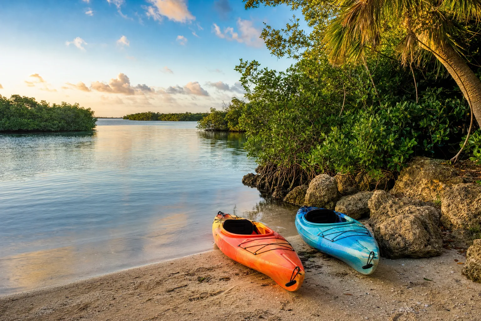
Bahia Honda State Park - Loggerhead Kayak Beach is a hand launch site for kayaks, canoes and paddleboards in Big Pine Key, Monroe County on Hawk CHannel, a ocean or Gulf with salt or brackish water. It is publicly owned and open to everyone and managed by Florida Department of Environmental Protection.
Launching
The ramp has a launch with a gravel kayak beach surface. The FWC rates its condition as beach. There is no dock.
Fees, parking and hours
The launch fee is $8 plus .50 person. Pay the attendant on site. Parking: 65 car spaces, paved - asphalt or concrete. Hours: 8:00 AM until Sunset, 365 days a year.
Facilities
Restrooms: Flush Toilet. Accessibility: No Accommodations for Accessibility. Amenities: grill, picnic.
Fishing
10 artificial reefs within 10 miles of the ramp, from the FWC artificial reef program.
Bahia Honda Reef
4.2 mi
- Depth
- 30 ft
- GPS
- 24° 35.746' N, 81° 17.380' W
- Material
- Bridge Spans
Bahia Honda Reef
4.2 mi
- Depth
- 32 ft
- GPS
- 24° 35.755' N, 81° 17.442' W
- Material
- Bridge Spans
Seven Mile Bridge Reef
7.8 mi
- Depth
- 90 ft
- GPS
- 24° 36.333' N, 81° 10.00' W
- Material
- Bridge Spans
Big Pine Key Site
7.9 mi
- Depth
- 18 ft
- GPS
- 24° 33.016' N, 81° 19.498' W
- Material
- Concrete/PVC A-Frame
Show all 10 reefs
| Reef | Distance | Depth | GPS |
|---|---|---|---|
| Bahia Honda Reef | 4.2 mi | 30 ft | 24° 35.746' N, 81° 17.380' W |
| Bahia Honda Reef | 4.2 mi | 32 ft | 24° 35.755' N, 81° 17.442' W |
| Seven Mile Bridge Reef | 7.8 mi | 90 ft | 24° 36.333' N, 81° 10.00' W |
| Big Pine Key Site | 7.9 mi | 18 ft | 24° 33.016' N, 81° 19.498' W |
| Big Pine Reef | 8.0 mi | 25 ft | 24° 33.056' N, 81° 19.749' W |
| Big Pine Reef | 8.3 mi | 45 ft | 24° 32.692' N, 81° 19.530' W |
| Big Pine Reef | 8.4 mi | 80 ft | 24° 32.509' N, 81° 19.419' W |
| Seven Mile Bridge Reef | 9.0 mi | 115 ft | 24° 34.970' N, 81° 09.590' W |
| Seven Mile Bridge Reef | 9.0 mi | 115 ft | 24° 34.975' N, 81° 09.484' W |
| Seven Mile Bridge Reef | 9.1 mi | 115 ft | 24° 35.020' N, 81° 09.359' W |
Source: Florida Fish and Wildlife Conservation Commission (FWC). Check fishing license and bag limit rules before you go.
Nearby
Other ramps nearby
Source: Florida Fish and Wildlife Conservation Commission (FWC), Florida Boat Ramp Inventory. Check local signs for current fees and hours.